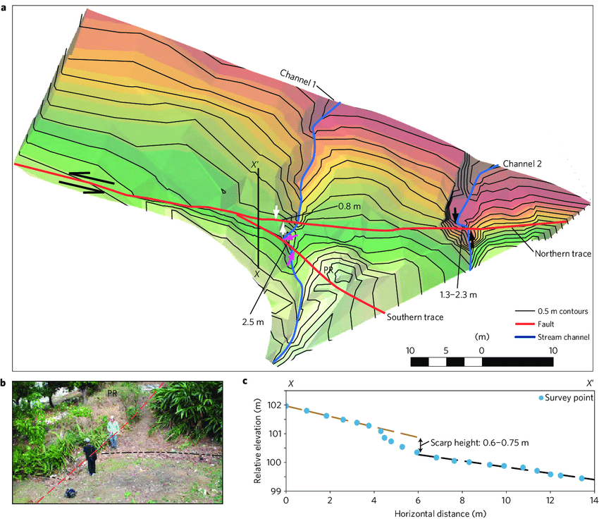
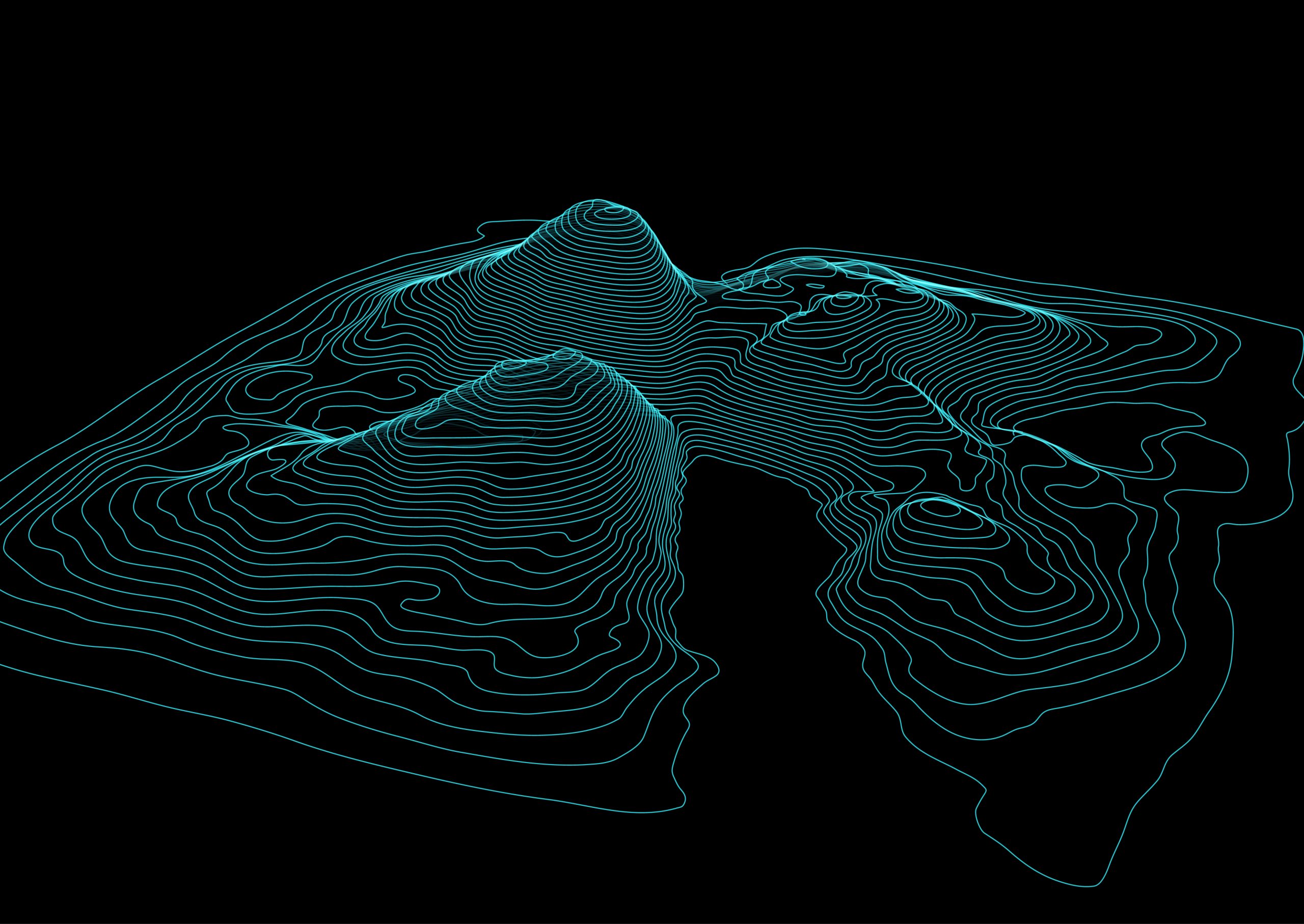
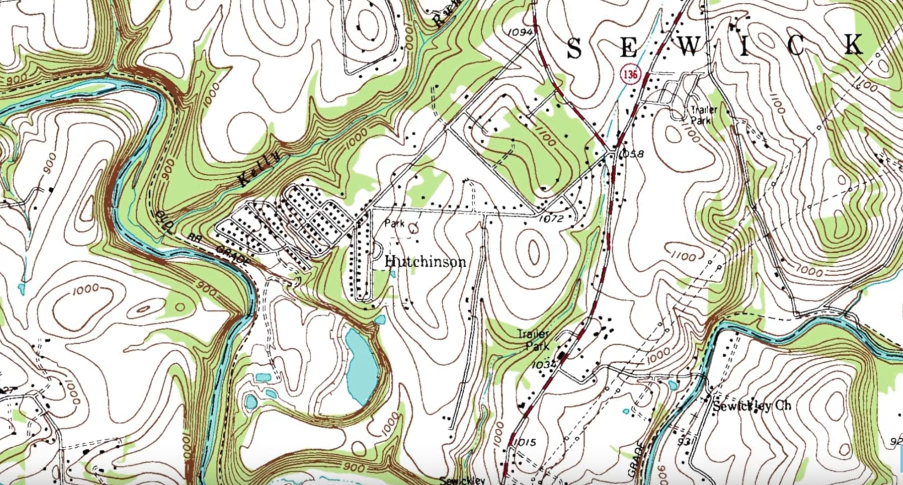
مارس 24, 2026 المسح الطبوغرافي By admin Services 0 Comments خطوط كنتورية دقيقة، ونماذج رقمية للتضاريس (DTM)، ونماذج رقمية لسطح الأرض (DSM) لدعم مشاريع تطوير الأراضي والبنية التحتية. 3D style abstract background with wireframe landscape Abstract background with a landscape topographic map design https://dronetech.eg/wp-content/uploads/2023/01/Topographic-Mapping-1.mp4 Older Post المسح الضوئي بتقنية LiDAR Next Post المسح العقاري


Social List