


")
")


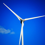
By using thermal imaging and LiDAR, we optimize the performance of renewable energy plants such as solar and wind farms. This improves energy efficiency, reduces downtime, and supports the global transition to clean energy.
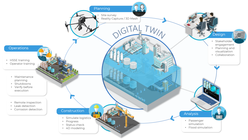
Through photogrammetry, 3D modeling, and topographic mapping, we enable smarter planning, resilient infrastructure design, and data-driven decision-making. These technologies help industries innovate while minimizing environmental impact.
Our drone solutions provide urban monitoring, emissions detection, and infrastructure inspections that enhance safety, reduce pollution, and support sustainable development in rapidly growing cities.
With multispectral imaging and harmful gas detection sensors, we empower organizations to monitor environmental conditions, detect methane leaks, and assess climate-related risks helping mitigate the effects of climate change.
Using remote sensing, LiDAR, and aerial surveys, we support ecosystem protection, forest monitoring, and responsible land-use management preserving biodiversity and promoting environmental stewardship.

Social List