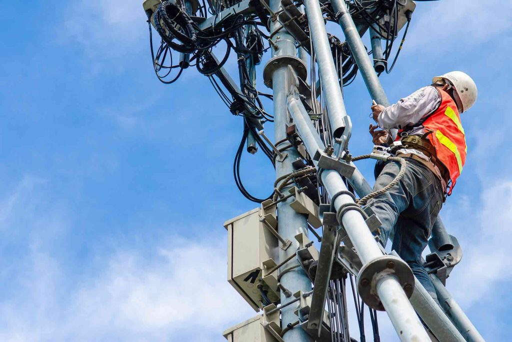
High-Risk Climbing – Tower technicians face falls, electrical hazards, and harsh weather exposure.
Slow Rollout of New Tech – Manual surveys and line-of-sight (LOS) checks delay deployment.
Limited Data Accuracy – Ground surveys miss fine structural issues like rust, cracks, or antenna misalignment and do not provide timely data for maintenance
Inaccessible locations – Inability to access difficult-to-reach locations.
Service Interruptions – Traditional inspections may require shutting down equipment.
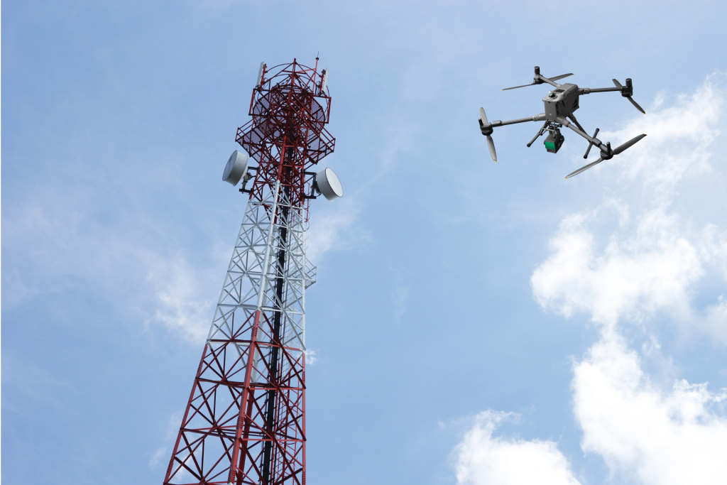
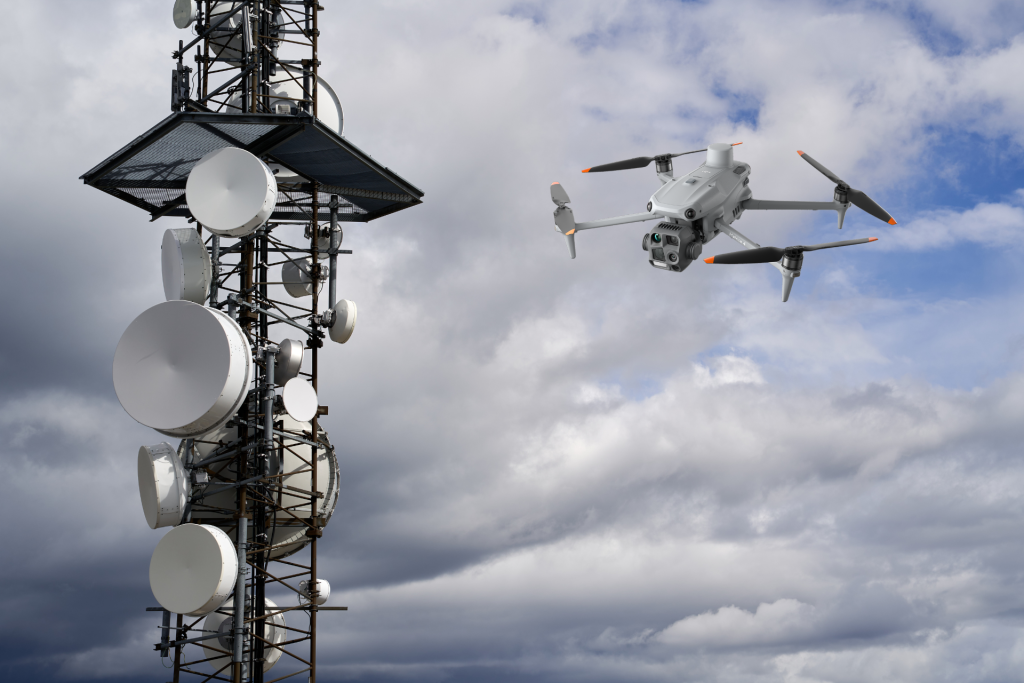
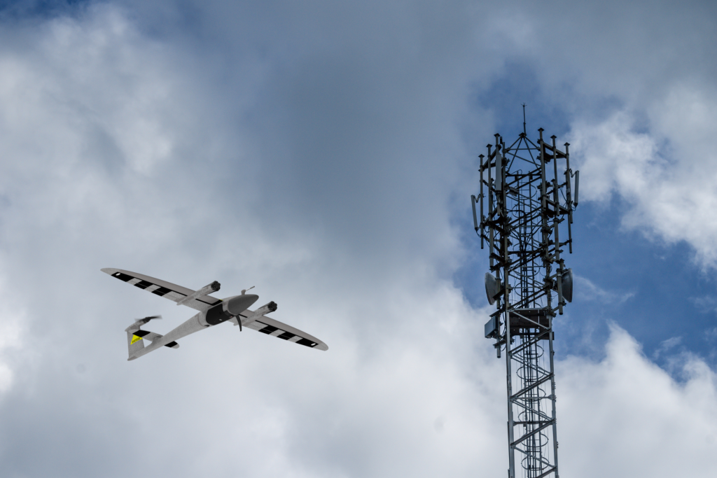
With Drone Technology:
Digital Twin Creation – 3D georeferenced tower models with equipment annotations are generated using high resolution optical imagery + LiDAR.
Line-of-Sight (LOS) & Microwave Link Surveys – 3D terrain and obstruction analysis for link planning.
Greenfield Site Planning – Terrain suitability maps, topographic analysis, and tower placement optimization via LiDAR + Photogrammetry generated 3D models.
Thermal & RF Interference Monitoring – Hotspot detection in cables/equipment and interference mapping with Thermal sensors.
Antenna Alignment & Verification – 3D positioning of antennas, misalignment detection to boost signal coverage and network performance, especially critical for 5G.
Tower Structural Inspection – Detection of rust, cracks, loose bolts, and paint degradation.
Predictive Maintenance – By regular inspections and analyzing historical data to identify trends and plan for maintenance ahead.
Start Your Digital Transformation Journey With Us Now.


Social List