+201211153171
info@dronetech.eg
Sunday to Thursday: 9:00 AM - 5:00 PM
Home
about us
Industries
AEC (Architecture, Engineering & Construction)
Smart Cities, Infrastructure & Urban Planning
Mining and Quarrying
Energy
Oil & Gas
GREEN ENERGY ( Solar Panels )
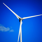
GREEN ENERGY ( Wind Turbines )
Powerlines & Substations
Telecommunications
Utilities and Industrial Facilities
Environmental Monitoring
Tourism & Heritage Preservation
Public Safety
Fire Monitoring & Damage Assessment
Search & Rescue
Agriculture
Services
Surveying & Mapping
Digital Twin Generation
Orthomosaics & Photogrammetry
LiDAR Mapping
Topographic Mapping
Cadastral Surveys
Stockpile Measurement
GIS Integration
Thermal Imaging
Aeromagnetic Surveys
Asset Management
Digital Twin Creation
Asset Inspection
Change Detection
GIS Integration
Facade Cleaning
Inspections
Automated & Repeatable Flights
High-Resolution RGB/Photogrammetry Imaging
Digital Twin Integration
LiDAR & 3D Modeling
Thermal & Infrared Scanning
Confined Space Inspections
Greenhouse Gases Detection
Multispectral Imaging
Contact Us
العربية
Get A Quote
... Search Here ...
Office Address
Block 6, AbdelAzim Wazir st., Ard El Golf, Cairo, Egypt
+201221751275
info@dronetech.eg
Pinterest
Social List
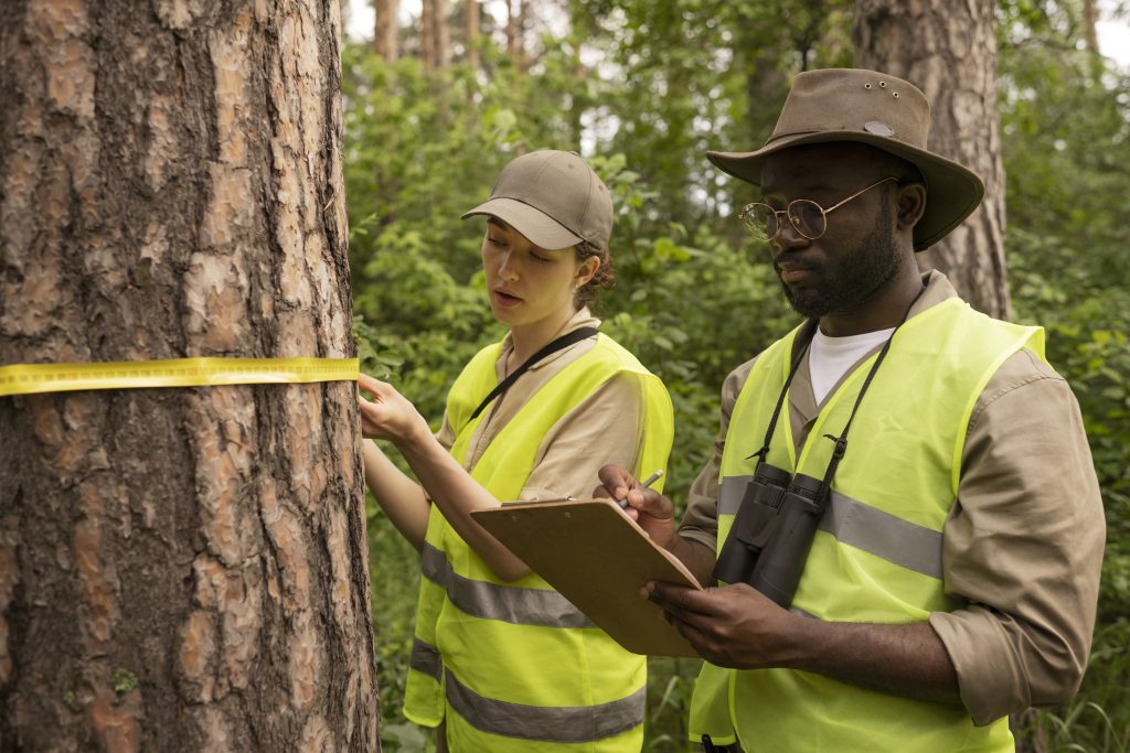
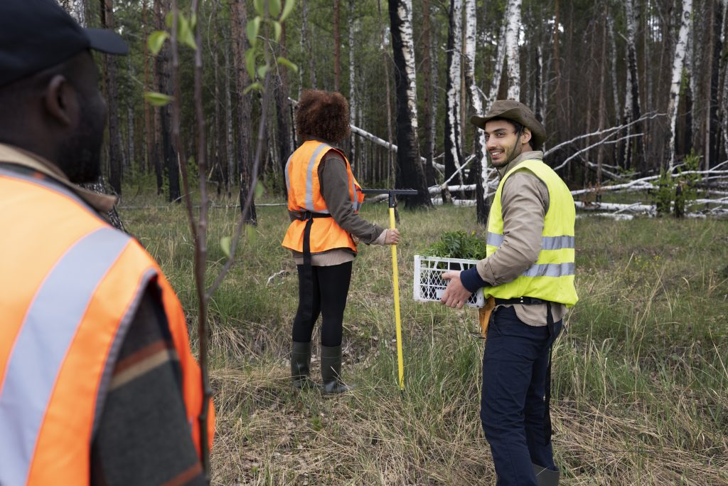
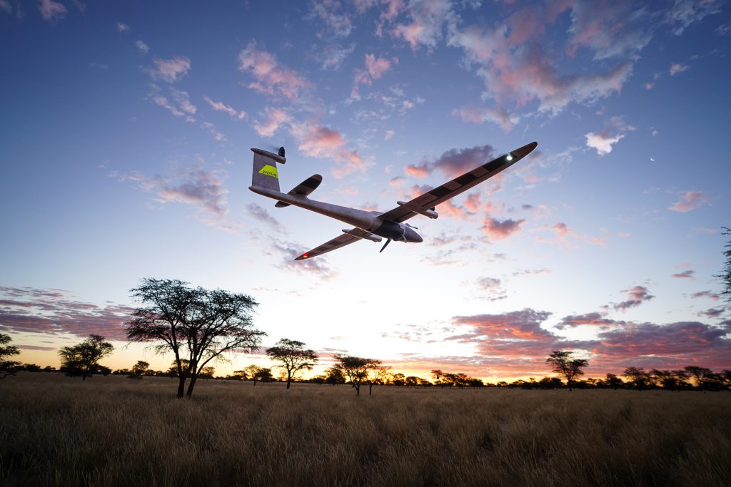
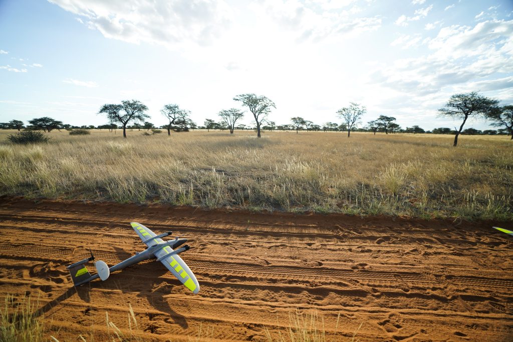
Environmental Monitoring
Drone tech
>
Services
>
Environmental Monitoring
Challenges of Traditional Methods:
Limited Coverage – Ground surveys only cover small areas and take long time.
Inaccessible Terrain – Wetlands, deserts, forests, and mountainous regions are difficult to survey manually.
Data Latency – Environmental reports often take months to compile, making interventions reactive instead of proactive.
Regulatory & Compliance Pressure – Governments and industries face requirements to provide frequent, accurate environmental reports.
High Human Resource Demand – Large field teams are needed for sampling and surveys, leading to inconsistent data quality.
With drone technology:
Visual Pollution Detection & Monitoring – Mapping of illegal billboards, abandoned vehicles, unplanned structures or dumpsites.
Deforestation & Land Use Change – High-resolution land cover maps, tracks deforestation, illegal logging, and supports carbon offset programs.
Disaster & Environmental Risk Assessment – Flood mapping, landslide risk models and wildfire hotspot detection.
Vegetation Health & Carbon Sequestration – Leveraging Multispectral sensors, NDVI, NDRE, and canopy height models assess forest health and measure carbon sequestration capacity.
Soil Erosion & Desertification Monitoring – Obtain soil moisture maps, erosion risk models, guiding reforestation and land restoration programs.
Coastline & Wetland Monitoring – Generating high-resolution elevation models, shoreline erosion maps.
Renewable Energy Environmental Impact Studies – Habitat and land-use impact assessments for wind/solar farm siting, ensuring sustainable project planning aligned with SDGs.
Start Your Digital Transformation Journey With Us Now.
Reach Out Now!
+20 1211153171


Social List