
January 1, 2023
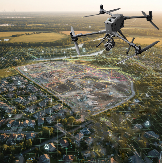
Digital Twin Generation
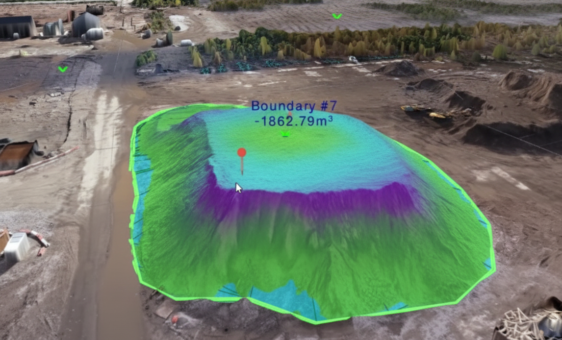
Build accurate 3D models of assets for lifecycle management, predictive maintenance, and remote inspections.


Build accurate 3D models of assets for lifecycle management, predictive maintenance, and remote inspections.
Seamless data integration into GIS platforms. Digital World Map Hologram Blue Background
Deliver accurate property and land parcel measurements to support urban planning and land registration.
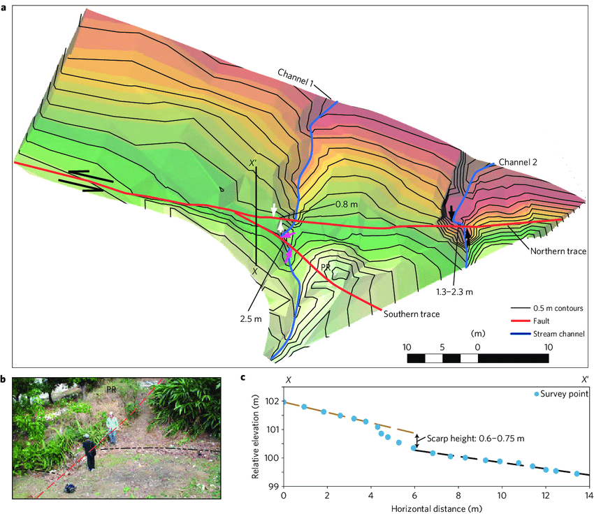
Accurate contour lines, digital terrain models (DTMs), and digital surface models (DSMs) for land development and infrastructure projects. 3D style abstract background with wireframe landscape Abstract background with a landscape topographic map design
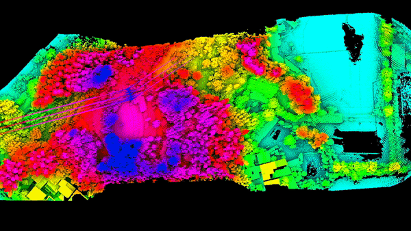
High-density point clouds that penetrate vegetation to reveal true ground elevation and better accuracy than photogrammetry.
georeferenced orthomosaic maps with centimeter-level accuracy for planning, design, and documentation. Aerial view of the town of Lausanne, lakefront and the surrounding countryside high-angle photo of city


Social List