January 1, 2023
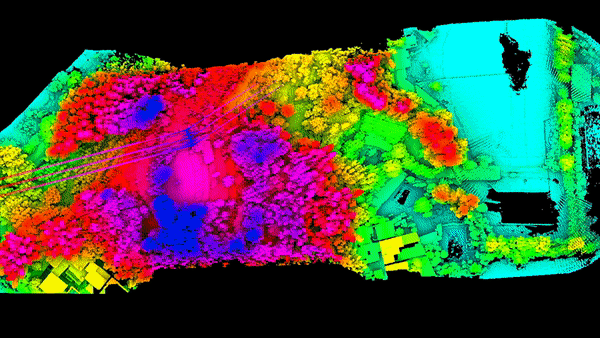
LiDAR Mapping
High-density point clouds that penetrate vegetation to reveal true ground elevation and better accuracy than photogrammetry.


High-density point clouds that penetrate vegetation to reveal true ground elevation and better accuracy than photogrammetry.
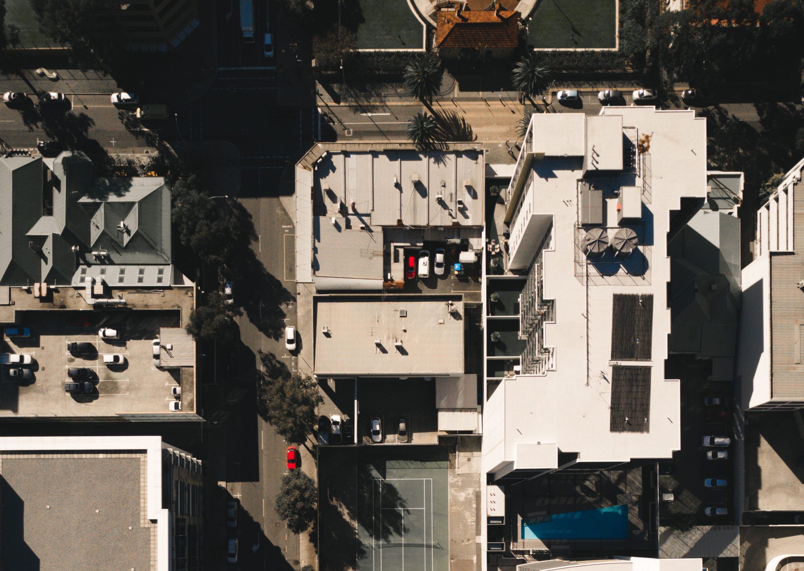
georeferenced orthomosaic maps with centimeter-level accuracy for planning, design, and documentation. Aerial view of the town of Lausanne, lakefront and the surrounding countryside high-angle photo of city

Social List