+201221751275
info@dronetech.eg
Sunday to Thursday: 9:00 AM - 5:00 PM
Home
About Us
Industries
AEC (Architecture, Engineering & Construction)
Smart Cities, Infrastructure & Urban Planning
Mining and Quarrying
Energy
Oil & Gas
GREEN ENERGY ( Solar Panels )
GREEN ENERGY ( Wind Turbines )
Powerlines & Substations
Telecommunications
Utilities and Industrial Facilities
Environmental Monitoring
Tourism & Heritage Preservation
Public Safety
Fire Monitoring & Damage Assessment
Search & Rescue
Agriculture
Services
Surveying & Mapping
Digital Twin Generation
Orthomosaics & Photogrammetry
LiDAR Mapping
Topographic Mapping
Cadastral Surveys
Stockpile Measurement
GIS Integration
Thermal Imaging
Aeromagnetic Surveys
Asset Management
Digital Twin Creation
Asset Inspection
Change Detection
GIS Integration
Facade Cleaning
Inspections
Automated & Repeatable Flights
High-Resolution RGB/Photogrammetry Imaging
Digital Twin Integration
LiDAR & 3D Modeling
Thermal & Infrared Scanning
Confined Space Inspections
Greenhouse Gases Detection
Multispectral Imaging
Contact Us
Get A Quote
... Search Here ...
Office Address
Block 6, AbdelAzim Wazir st., Ard El Golf, Cairo, Egypt
+201221751275
info@dronetech.eg
Pinterest
Social List
AEC (Architecture, Engineering & Construction)
Drone tech
>
Services
>
AEC (Architecture, Engineering & Construction)
Challenges of Traditional Methods:
Ground-based surveys require significant manpower, equipment and cost.
Difficulty accessing elevated areas and intricate details (e.g., roofs, facades, tight corners).
Dependence on fixed equipment such as total stations, which can be costly and inflexible.
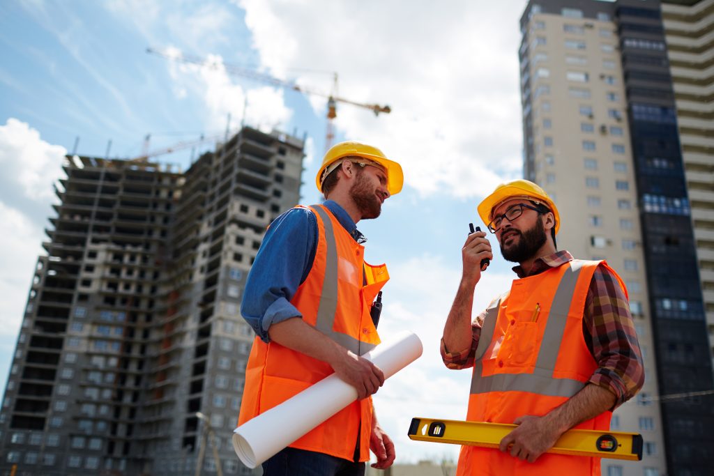
Contractor speaking on walkie-talkie with co-worker near by
Limited ability to provide a comprehensive 3D overview of the project.
Design Validation Gaps – Difficulty comparing as-built structures with design/BIM models.
Lack of high-resolution images capturing all fine details of buildings and infrastructure.
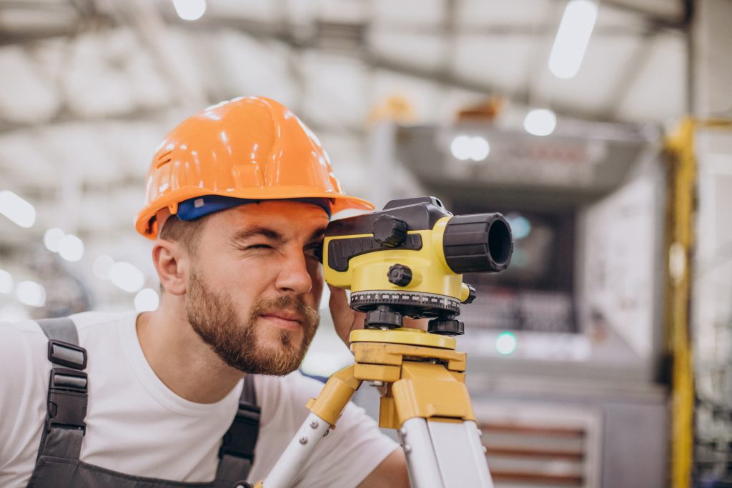
Engineer working on building factory
Manual documentation may not provide reliable evidence during project handovers or disputes.
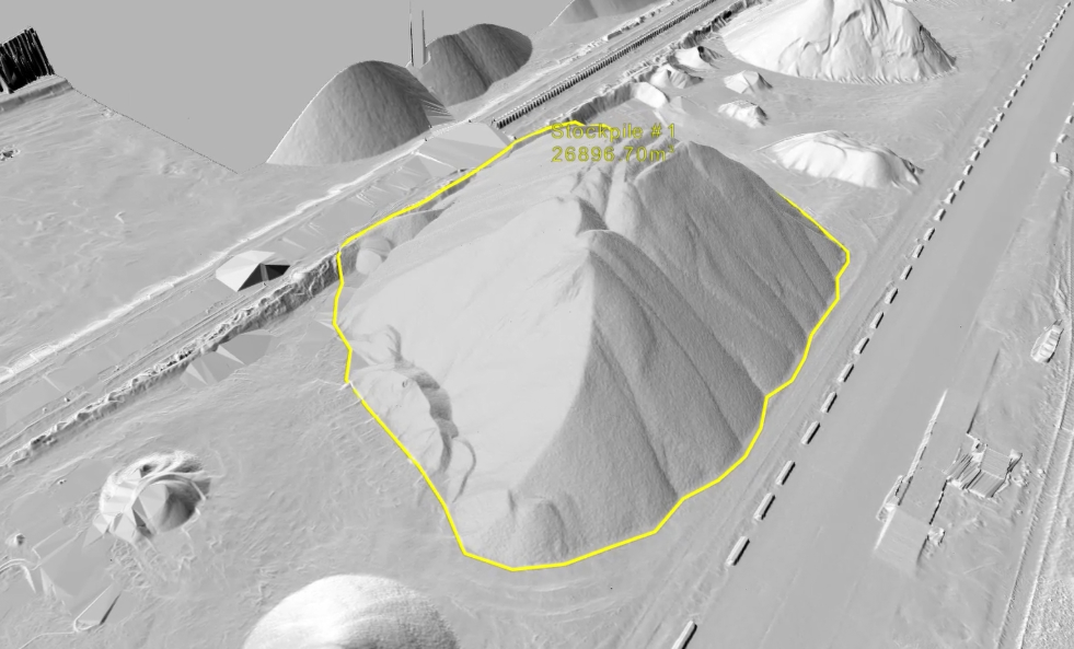
Inefficient Earthwork Calculations – Cut-and-fill or stockpile measurements often lack precision.
Challenges in sharing results remotely with developers, consultants, and investors.
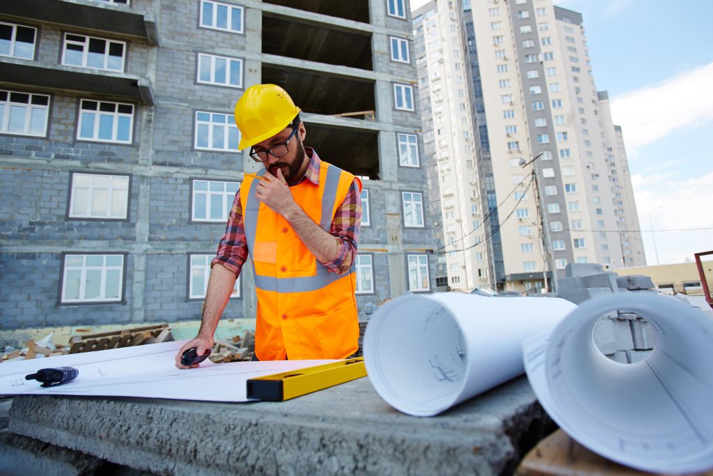
Pensive worker in hardhat and uniform looking at sketch of new building
With Drone Technology:
High-resolution aerial mapping of residential, commercial, and infrastructure projects using RGB and/or LiDAR sensors.
Land Surveying & Topographic Mapping – High-accuracy 2D orthomosaics, contour maps, and 3D terrain models.
Digital Twin – Georeferenced 3D digital twins that enable BIM integration.
Generating as-builts for as-built vs as-designed validation and clash detection.
Site Planning – Pre-construction site survey, analysis, volumetric calculations.
Construction Progress Monitoring through autonomous aerial updates to track project timelines.
Streamlined collaboration through shareable 3D data.
Detailed structural inspections, for example bridges, towers, and large infrastructure assets without scaffolding or downtime.
Earthworks & Volume Calculations – Monitoring stockpiles, cut-and-fill operations, and accurate volume measurement.
Enhanced on-site safety by identifying hazards and ensuring compliance with regulations.
Start Your Digital Transformation Journey With Us Now.
Reach Out Now!
+20 1221751275


Social List