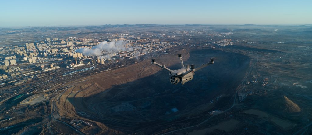
Difficult Asset Monitoring – Tracking haul roads, conveyor belts, and remote assets is challenging across vast mine sites.
Manual inspections in high walls, stockpiles, or blasting zones expose workers to dangerous conditions.
A lonely male hiking in the mountains in a cage covered with snow during daytime
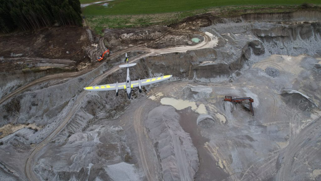
Ground surveying of pits and quarries is labor-intensive and may not capture real-time changes.
Traditional survey tools (GPS, total stations) struggle with large, complex terrains.
Obtaining accurate data on the subsurface geology.
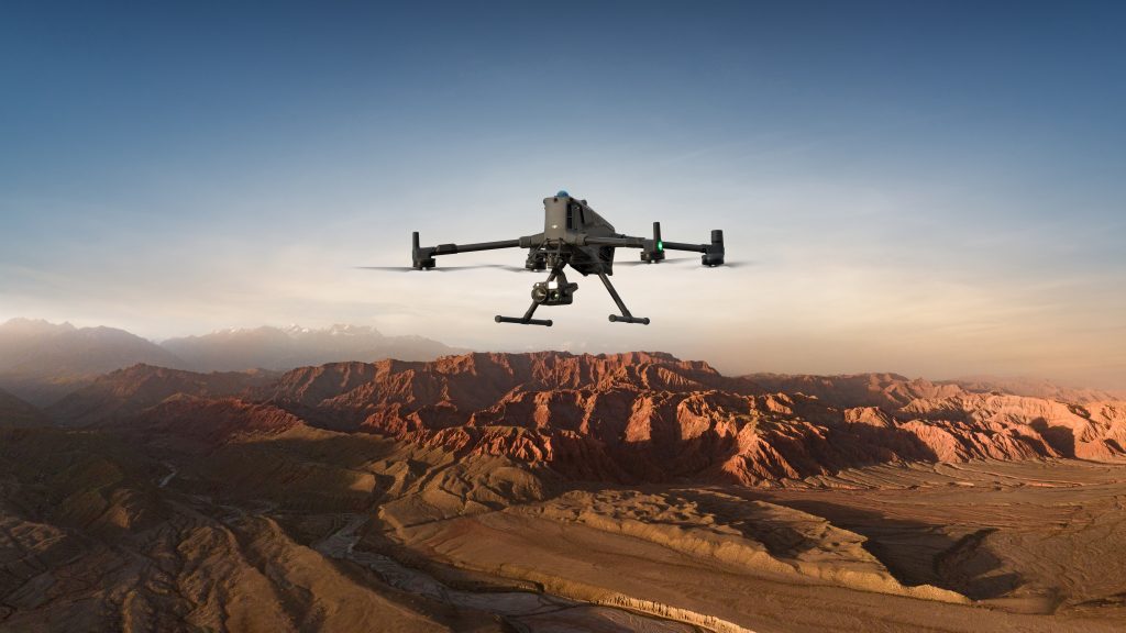
With Drone Technology:
Mine Mapping & 3D Modeling – High-resolution 3D terrain models, digital elevation models (DTM/DEM) that allow accurate mine planning, geotechnical analysis, and compliance with surveying standards.
Aeromagnetic surveys for mineral exploration – Magnetic field anomaly maps indicating subsurface geology and mineral deposits
Stockpile Volume Measurement – Accurate volumetric calculations of ore, aggregates, and waste piles.
default
Blast Planning & Safety Monitoring – Pre- and post-blast analysis, fragmentation assessment, enhancing safety and optimizing blasting efficiency.
Haul Road & Slope Monitoring – Condition maps for haul roads, slope stability models to help reduce equipment wear and prevent slope failures.
Tailings Dam & Water Management – Monitoring of dam walls, seepage detection, water level measurements.
Environmental Compliance & Rehabilitation – Vegetation health maps, dust dispersion monitoring, land rehabilitation progress.
Equipment & Infrastructure Inspections – Inspection of conveyor belts, crushers, power lines, and processing plants.
Start Your Digital Transformation Journey With Us Now.


Social List