+201221751275
info@dronetech.eg
Sunday to Thursday: 9:00 AM - 5:00 PM
Home
About Us
Industries
AEC (Architecture, Engineering & Construction)
Smart Cities, Infrastructure & Urban Planning
Mining and Quarrying
Energy
Oil & Gas
GREEN ENERGY ( Solar Panels )
GREEN ENERGY ( Wind Turbines )
Powerlines & Substations
Telecommunications
Utilities and Industrial Facilities
Environmental Monitoring
Tourism & Heritage Preservation
Public Safety
Fire Monitoring & Damage Assessment
Search & Rescue
Agriculture
Services
Surveying & Mapping
Digital Twin Generation
Orthomosaics & Photogrammetry
LiDAR Mapping
Topographic Mapping
Cadastral Surveys
Stockpile Measurement
GIS Integration
Thermal Imaging
Aeromagnetic Surveys
Asset Management
Digital Twin Creation
Asset Inspection
Change Detection
GIS Integration
Facade Cleaning
Inspections
Automated & Repeatable Flights
High-Resolution RGB/Photogrammetry Imaging
Digital Twin Integration
LiDAR & 3D Modeling
Thermal & Infrared Scanning
Confined Space Inspections
Greenhouse Gases Detection
Multispectral Imaging
Contact Us
Get A Quote
... Search Here ...
Office Address
Block 6, AbdelAzim Wazir st., Ard El Golf, Cairo, Egypt
+201221751275
info@dronetech.eg
Pinterest
Social List
Smart Cities, Infrastructure & Urban Planning
Drone tech
>
Services
>
Smart Cities, Infrastructure & Urban Planning
Challenges of Traditional Methods:
Difficulty accessing informal or narrow areas, which complicates data collection and site assessments.
Relying on traditional ground surveying methods can be time-consuming, especially in densely populated regions where movement is restricted.
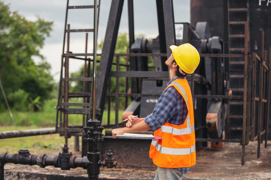
Workers standing and checking beside working oil pumps.
Urban planners, engineers, and municipalities work with fragmented, outdated data (data silos).
Accurately assessing informal constructions is challenging.
With Drone Technology:
Urban Mapping & Master Planning – High-resolution 2D maps, 3D city models, and elevation data covering large areas quickly.
Digital Twins for Smart Cities – 3D georeferenced digital twins of districts, roads, and infrastructure.
Map Pin Location Direction Position Graphic
Road & Highway Planning & Monitoring – Pavement condition maps, road surface models, clearance profiles.
Bridge & Overpass Inspections – Crack detection, corrosion mapping, thermal stress analysis.
Urban Utility Corridor Planning – Utility route optimization, clearance checks, and terrain analysis.
Identifying encroachments and documenting informal construction.
Construction Progress Tracking – autonomous project documentation for progress monitoring.
Start Your Digital Transformation Journey With Us Now.
Reach Out Now!
+20 1221751275


Social List