OT
Operational Technology
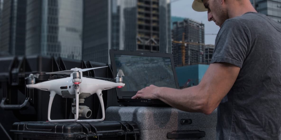
Drone sensors, IoT devices, field equipment, and real-time capture from the physical world


Drone Tech combines advanced drone sensors, geospatial engineering, and digital twin workflows to deliver precise data for infrastructure, energy, industry, and environment across Egypt




Every mission follows a structured pipeline: define the objective, deploy the right sensor, process the data into calibrated outputs, and integrate the results into existing workflows
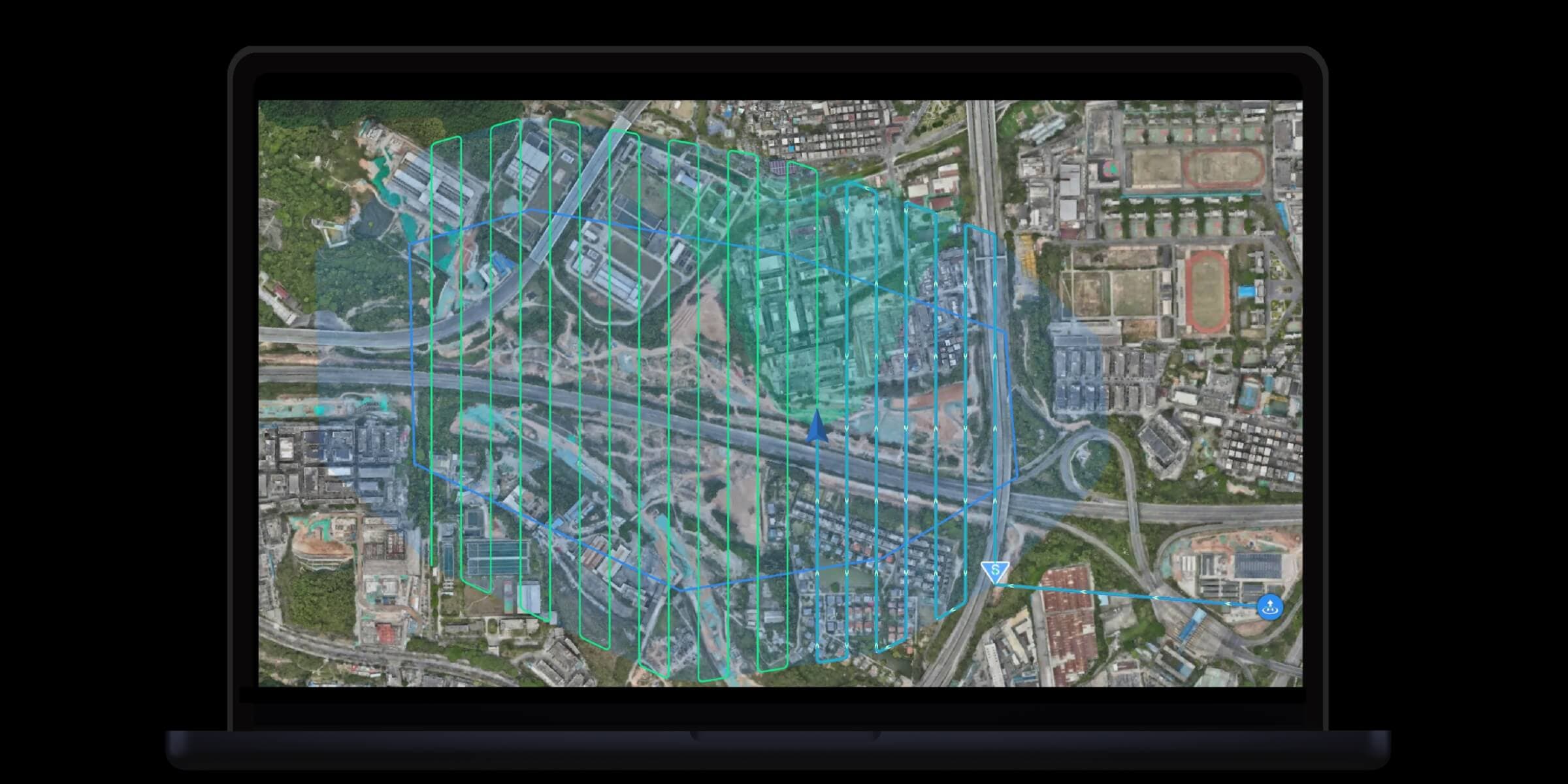
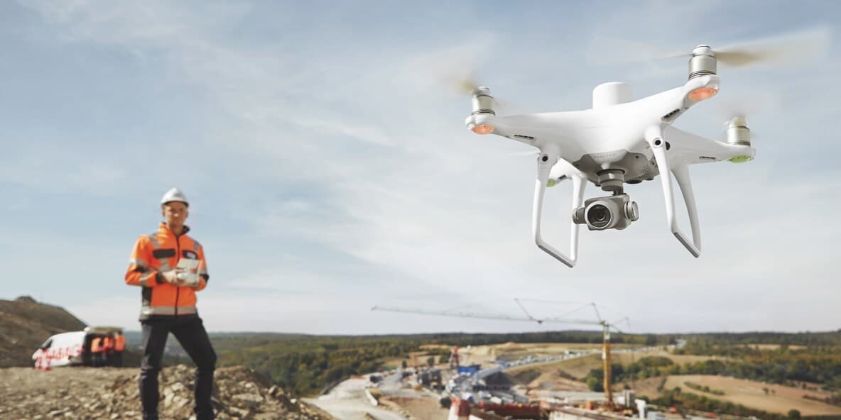
Define the area of interest, select the optimal sensor payload, and plan flight paths that maximize coverage and data quality
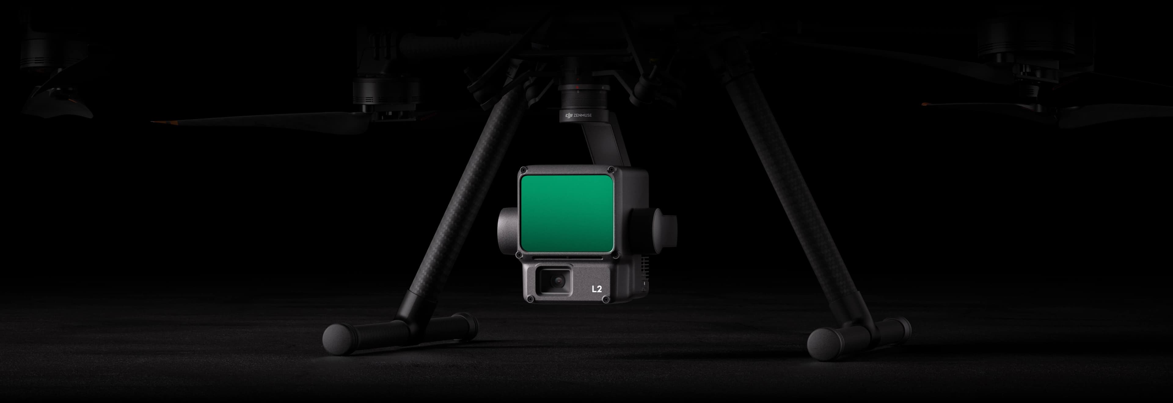
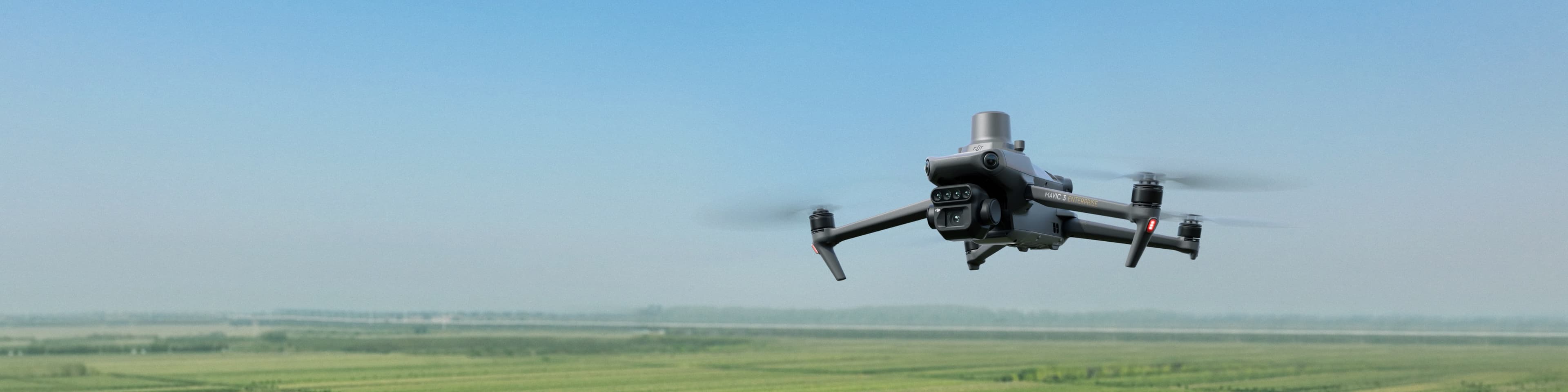
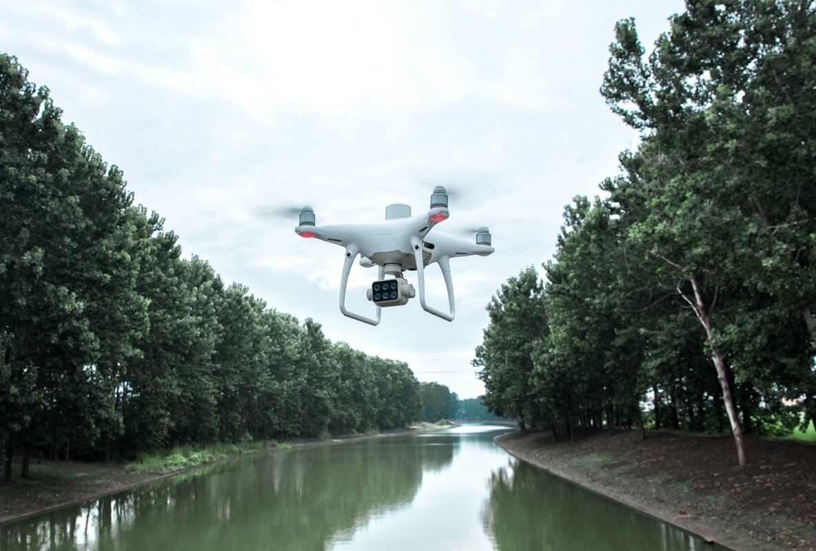
Deploy drones with RGB, LiDAR, thermal, multispectral, or gas detection sensors to capture high-resolution data safely and efficiently
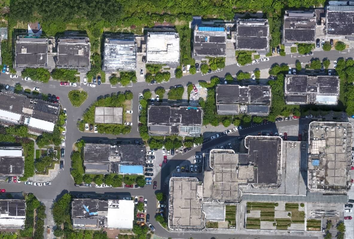
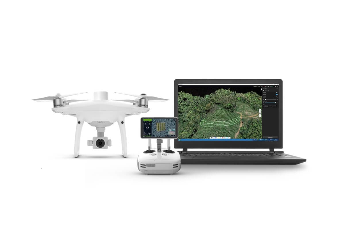
Process raw data into calibrated outputs: point clouds, orthomosaics, 3D models, thermal maps, and GIS-ready layers
Extract actionable insights — volumes, defects, change detection, thermal anomalies — and deliver them through your existing platforms
A digital twin is more than a 3D model — it is a living representation that connects survey data, engineering context, and operational records into a single source of truth
Drone sensors, IoT devices, field equipment, and real-time capture from the physical world
Cloud processing, AI analytics, machine learning, storage, and secure data pipelines
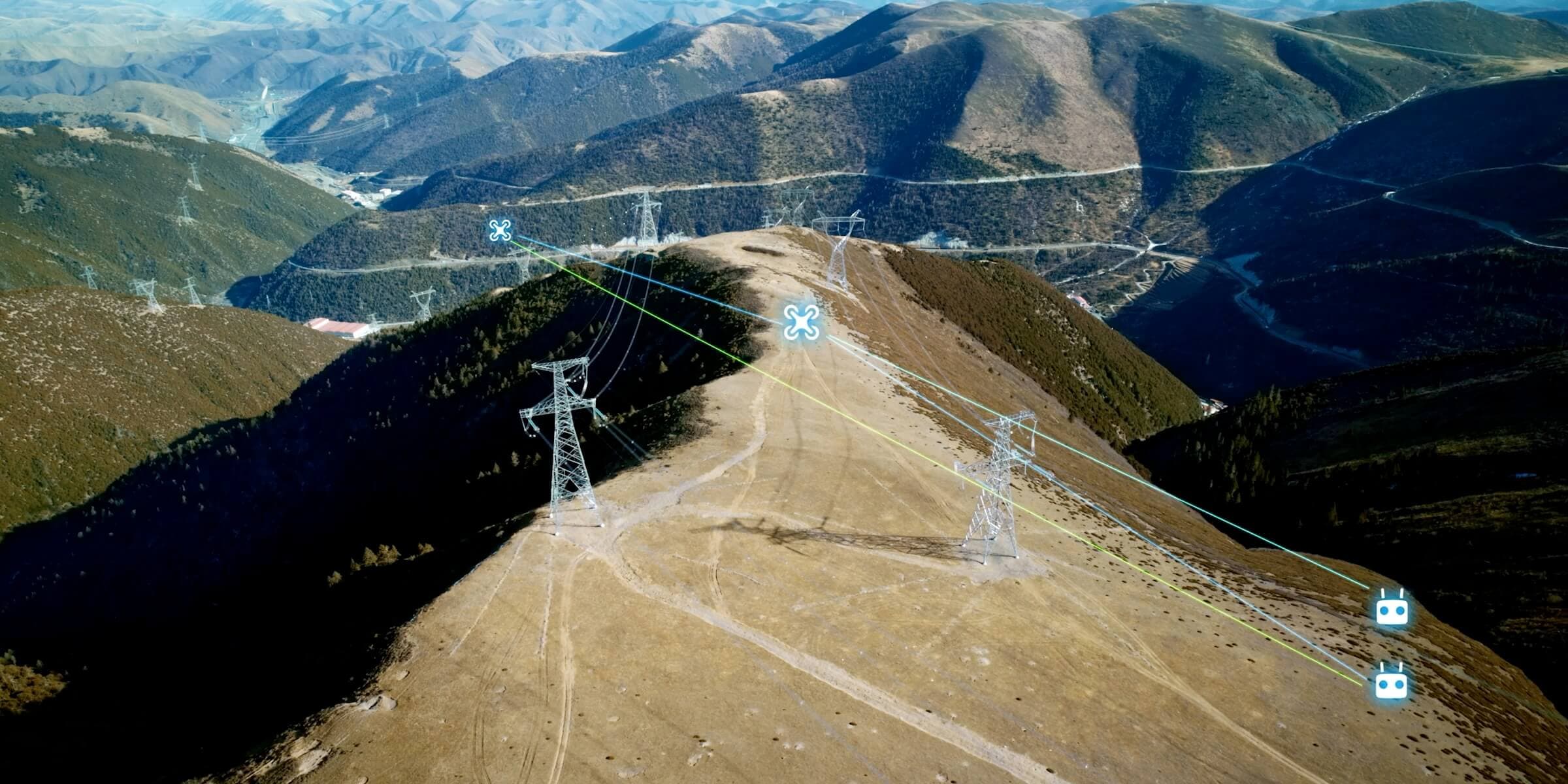
CAD, BIM, GIS, simulation, 3D models, and engineering context aligned to the twin
Drone Tech combines capture hardware, geospatial engineering, and digital twin workflows into practical deliverables for teams that need to act
Dense point clouds and terrain-aware geometry
High-resolution models and orthomosaic maps
Heat anomalies, leaks, and hidden hotspots
Crop health, land-use, and environmental indices
Geospatial layers ready for decision systems
Change detection, defects, and operational patterns
Repeatable missions with consistent capture
Methane, CO2, and harmful gas leak insight
Drone Tech is the pioneer in precision mapping, inspection, and asset intelligence, ensuring maximum safety and operational uptime
The global infrastructure drone inspection market is set to grow to $4.8 billion by 2030
The drone energy asset auditing market is expected to reach $6.2 billion by 2032
The precision farming drone mapping market is projected to be worth $5.7 billion by 2030
From surveying and mapping to inspections and asset management, each service is structured around clear outputs and operational value
Programmed drone missions for consistent, repeatable site data capture.

Safe drone inspection of tanks, chimneys, boilers, and hard-to-reach internal structures.
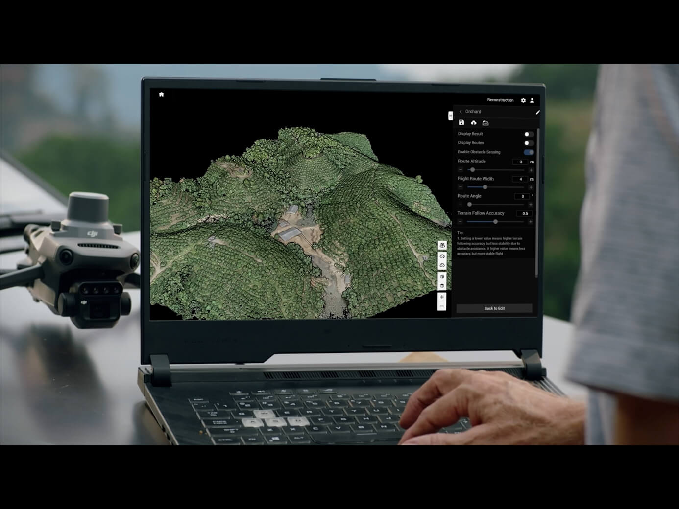
Integrating inspection results directly into interactive digital twin models.

Aerial gas sensing for methane, CO2, and toxic emission leak monitoring.
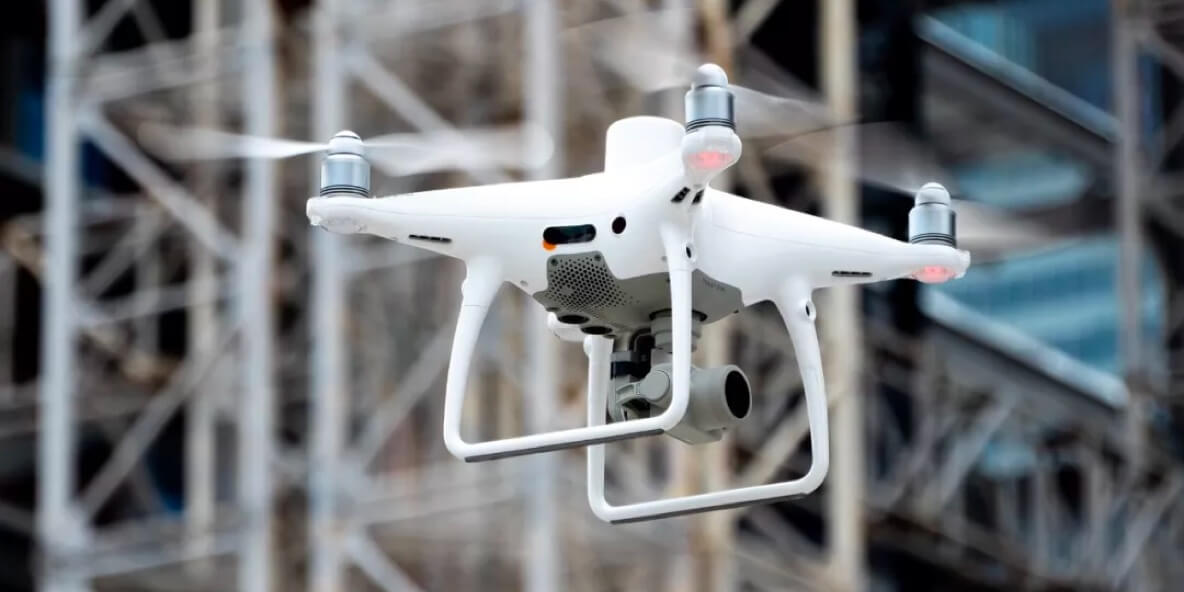
Millimeter-level RGB imaging for detailed visual inspection and photogrammetry modeling.
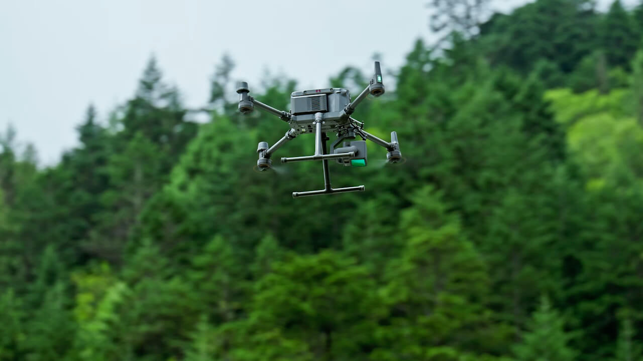
Combining LiDAR point clouds with 3D modeling for accurate structural analysis.
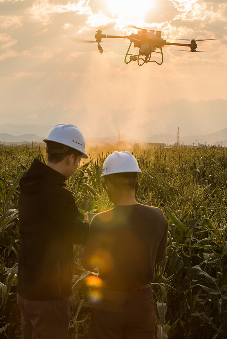
Multispectral scanning for crop health, environmental tracking, and land classification.
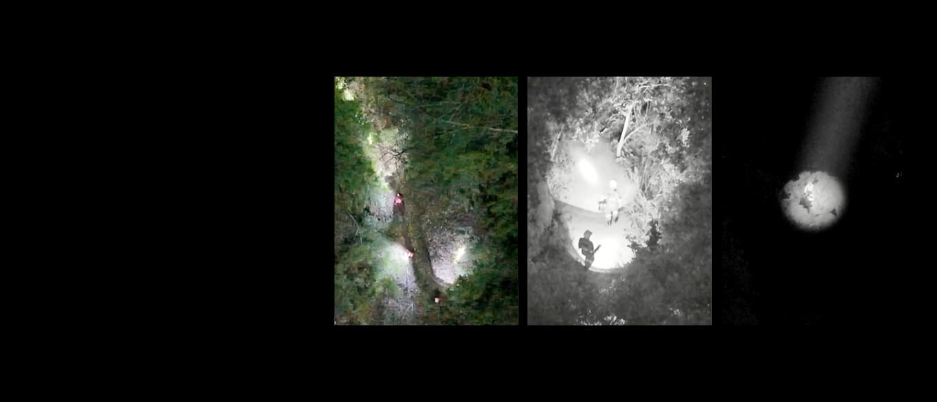
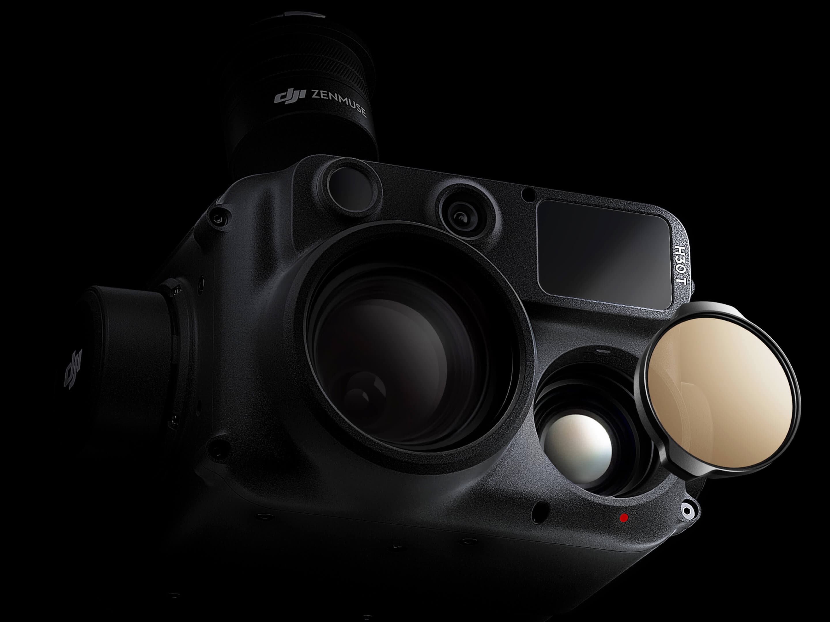
Advanced thermal scanning for insulation loss, electrical faults, and hotspots.
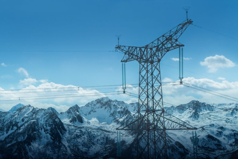
Targeted thermal imaging for rapid hotspot identification and safety checks.
Each page connects the challenge, the sensor strategy, the data outputs, and the business benefit

Drone-powered mapping, progress intelligence, digital twins, and inspections for construction and infrastructure projects.

Crop-health monitoring, multispectral analytics, field mapping, precision spraying, and yield intelligence.

Remote sensing for land-use change, vegetation health, risk mapping, pollution detection, and environmental reporting.

Rapid drone response, thermal hotspot detection, situational reporting, and post-fire damage intelligence.
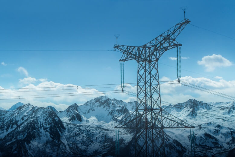
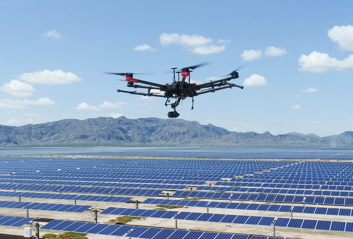
Drone intelligence for renewable energy planning, construction, O&M, thermal monitoring, and environmental performance.
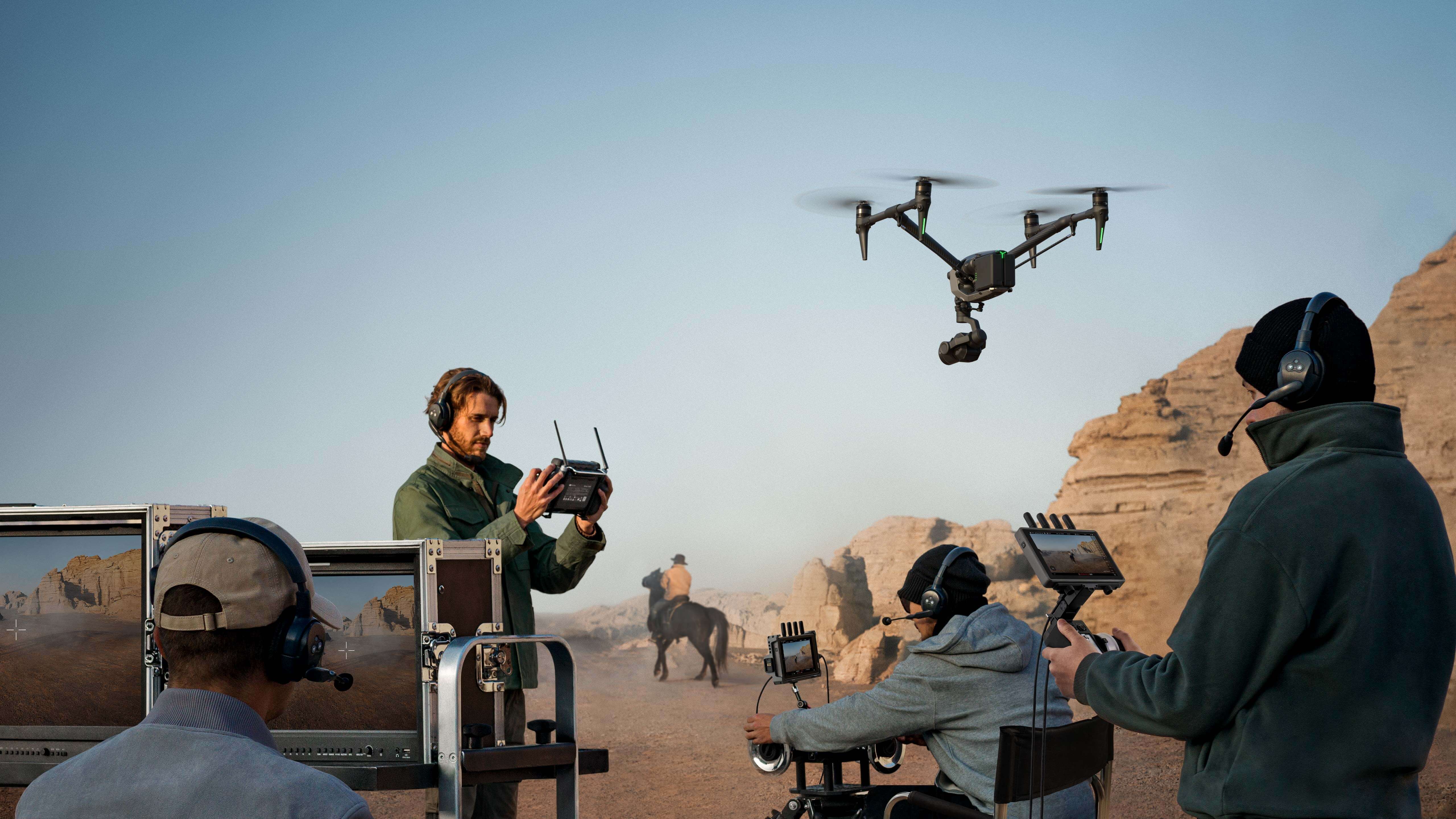
Cinematic aerial videography, corporate films, motion graphics, 360° virtual tours, and live streaming — turning drone operations into compelling visual content.
Mine mapping, stockpile measurement, terrain intelligence, aeromagnetic surveys, and safer remote-site monitoring.

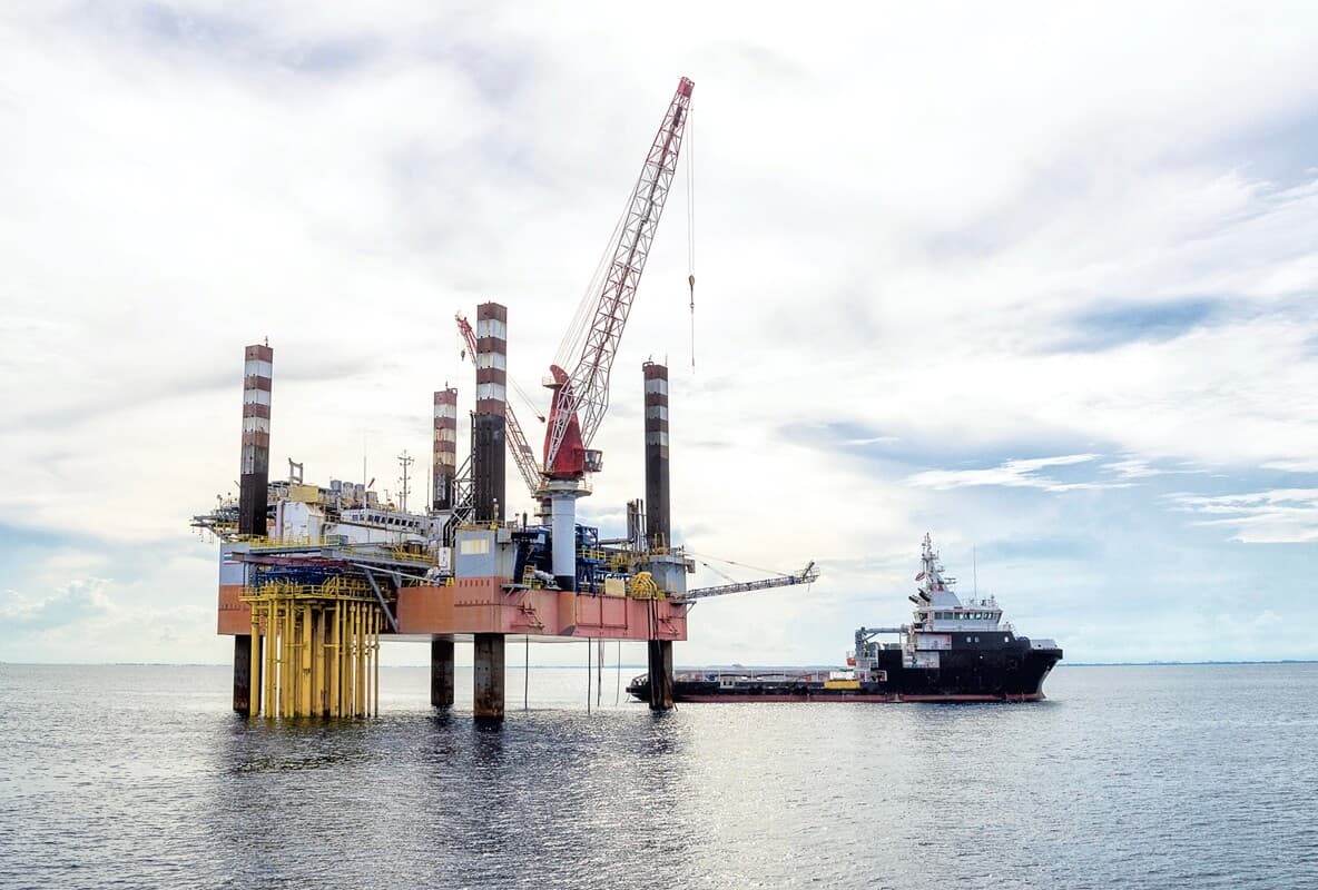
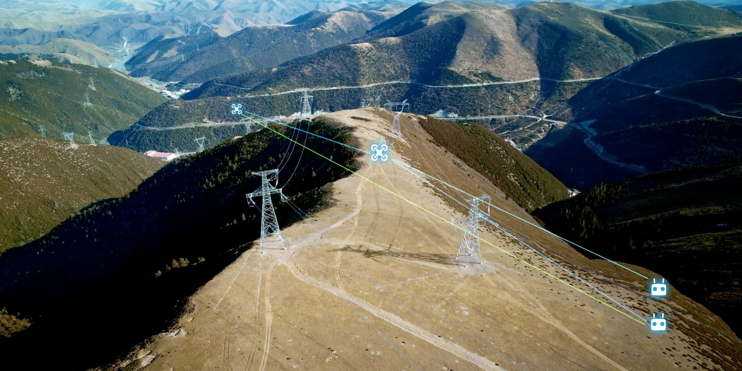
Remote inspection, facility digital twins, gas detection, thermal anomaly mapping, and pipeline corridor intelligence.
The value is not only in the drone capture. It is in what teams can prove, compare, plan, and optimize after the mission
Point clouds, models, and GIS-ready outputs
From AEC and energy to public safety
0Sensor families0Asset lifecycle phases
LiDAR, RGB, thermal, multispectral, and gas detection Plan, design, build, operate
Drone Tech aligns aerial intelligence with safer infrastructure, cleaner energy, environmental monitoring, and sustainable land use
Drone Tech supports resilient infrastructure through aerial inspection, digital twins, and geospatial data for planning and maintenance
Smart city planning and monitoring become more efficient with accurate aerial data and digital twin integration
Aerial monitoring supports climate resilience through environmental tracking, emission detection, and renewable energy infrastructure assessment
Multispectral and thermal imaging enable precision agriculture, vegetation health monitoring, and land-use change detection
Turn aerial data into accurate digital twins, asset insights, and safer operations