Industry application

Green Energy

Drone intelligence for renewable energy planning, construction, O&M, thermal monitoring, and environmental performance.

Thermal ImagingLiDARPhotogrammetryDigital TwinMultispectral ImagingGIS Integration
Challenge and solution

Replace fragmented fieldwork with spatial intelligence

Traditional methods create risk, delays, and fragmented data

  • Large solar and wind assets are slow to inspect manually.
  • Hotspots, erosion, blade defects, and vegetation issues can be invisible from ground level.
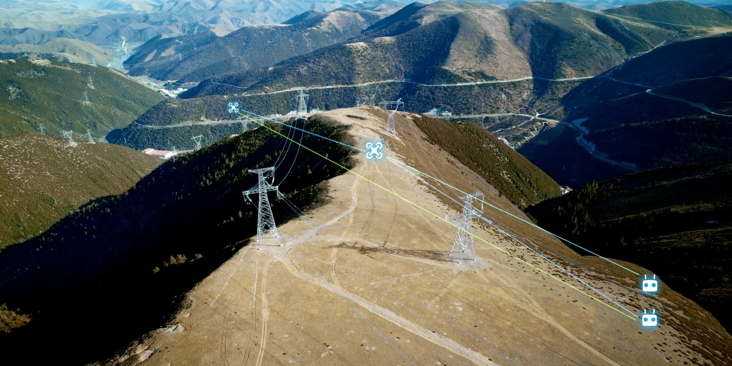
  • Remote sites raise access and safety costs.
  • Performance issues need spatial context to become actionable.
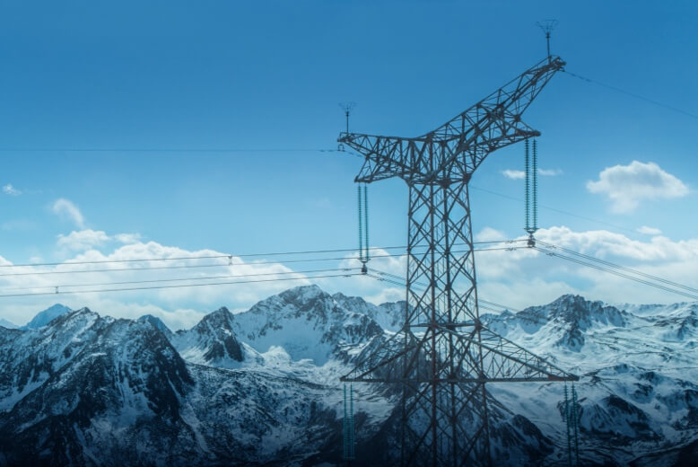
Drone Tech captures precise, shareable, decision-ready insight

  • Use thermal and RGB inspection to prioritize faults across solar and wind assets.
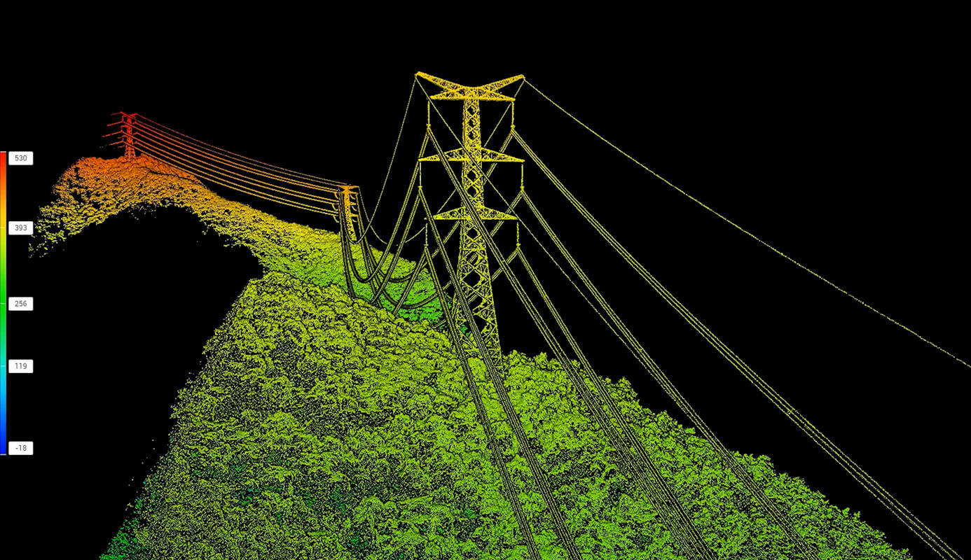
  • Generate terrain and infrastructure models for renewable site planning.
  • Track construction progress, vegetation, access roads, and environmental impact.
  • Build digital twin records for long-term O&M and predictive maintenance.
Data outputs

What the mission produces

Thermal fault maps

Digital O&M twins

Vegetation maps

Construction progress records

Business benefits

Operational value beyond the flight

A renewable-energy field shifts between RGB, thermal, terrain, and maintenance layers.

Higher uptimeFaster maintenance planningImproved safetyCleaner sustainability reporting
Next mission

Start your digital transformation journey with Drone Tech

Turn aerial data into accurate digital twins, asset insights, and safer operations