Industry application

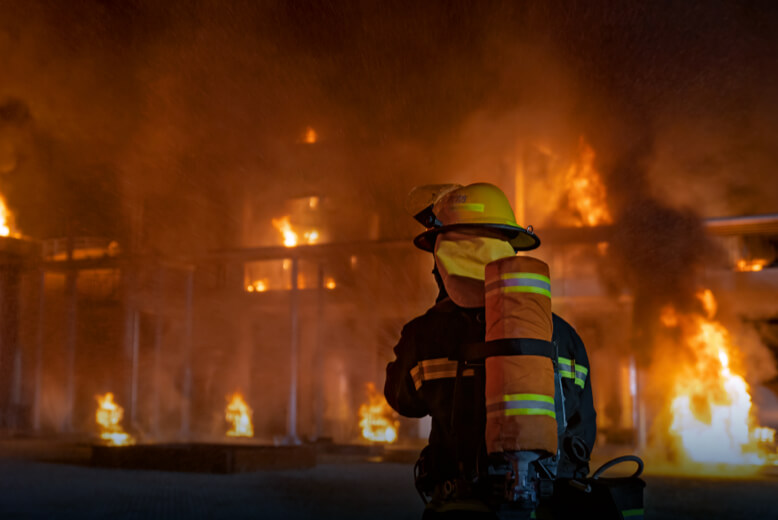
Fire Monitoring & Damage Assessment

Rapid drone response, thermal hotspot detection, situational reporting, and post-fire damage intelligence.

Thermal ImagingRGB ImagingAutonomous FlightsGIS IntegrationAI Analytics
Challenge and solution

Replace fragmented fieldwork with spatial intelligence

Traditional methods create risk, delays, and fragmented data

  • Fire zones are often hard to reach, including rough terrain or rooftops.
  • Smoke limits visibility and makes fire-source detection difficult.
  • Manual information gathering slows response.
  • Post-extinguishing embers can trigger reignition if missed.
Drone Tech captures precise, shareable, decision-ready insight

  • Deploy drones quickly for real-time situational reporting.
  • Use high-resolution thermal sensing to detect hidden hotspots and flames through heavy smoke.
  • Capture fire intensity, direction, height, rooftop conditions, and hard-access zones.
  • Identify embers after extinguishing to reduce reignition risk.
Data outputs

What the mission produces

Thermal fire maps

Hotspot reports

Response route overlays

Post-fire damage records

Business benefits

Operational value beyond the flight

A thermal fire map shows hotspots, wind direction, drone altitude, and response zones.

Faster situational awarenessReduced responder exposureBetter intervention planningLower reignition risk
Next mission

Start your digital transformation journey with Drone Tech

Turn aerial data into accurate digital twins, asset insights, and safer operations