Industry application

Oil & Gas

Remote inspection, facility digital twins, gas detection, thermal anomaly mapping, and pipeline corridor intelligence.

Digital TwinThermal ImagingGas DetectionLiDARRGB ImagingGIS Integration
Challenge and solution

Replace fragmented fieldwork with spatial intelligence

Traditional methods create risk, delays, and fragmented data

  • Ground and helicopter inspections can miss details and lack continuous monitoring.
  • Facilities are often remote, harsh, offshore, or difficult to access.
  • Flare stacks, pipelines, rigs, and hazardous assets create high safety risk.
  • Methane and environmental compliance checks can be slow or inaccurate.
Drone Tech captures precise, shareable, decision-ready insight

  • Create digital twins for refineries, plants, offshore rigs, tanks, and industrial assets.
  • Inspect flare stacks, chimneys, tanks, pipelines, cooling towers, and heat exchangers with RGB and thermal sensors.
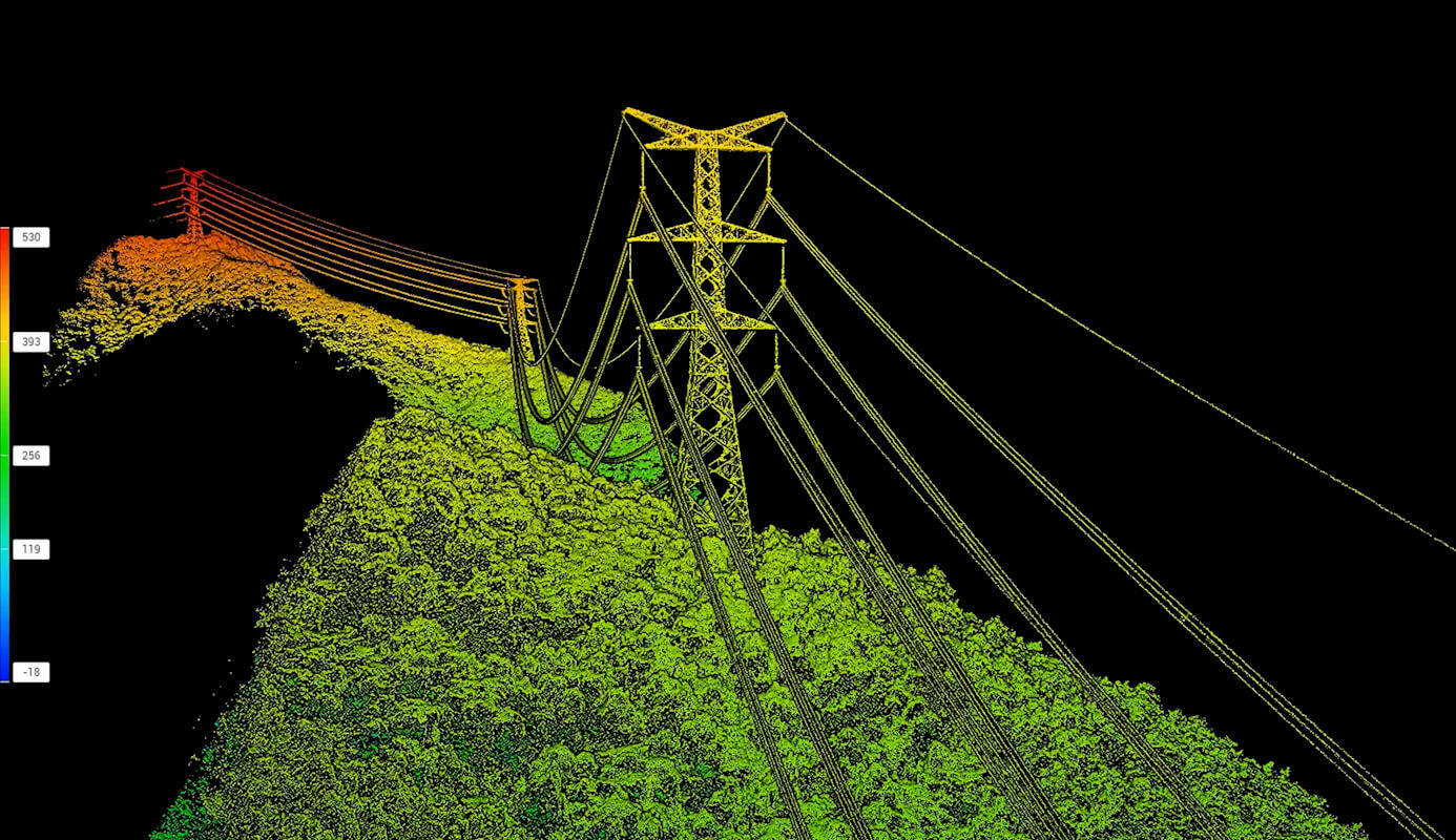
  • Map pipeline corridors, encroachment, corrosion hotspots, settlement, and weld conditions.
  • Detect, visualize, and quantify methane and harmful gas leaks to support ESG and compliance.
Data outputs

What the mission produces

Facility digital twins

Thermal maps

Gas detection reports

Pipeline corridor maps

Business benefits

Operational value beyond the flight

An industrial facility twin shows gas plume, thermal, and corrosion layers in a mission-control overlay.

Reduced shutdown exposureBetter compliance evidenceSafer inspection programsEarlier fault detection
Next mission

Start your digital transformation journey with Drone Tech

Turn aerial data into accurate digital twins, asset insights, and safer operations