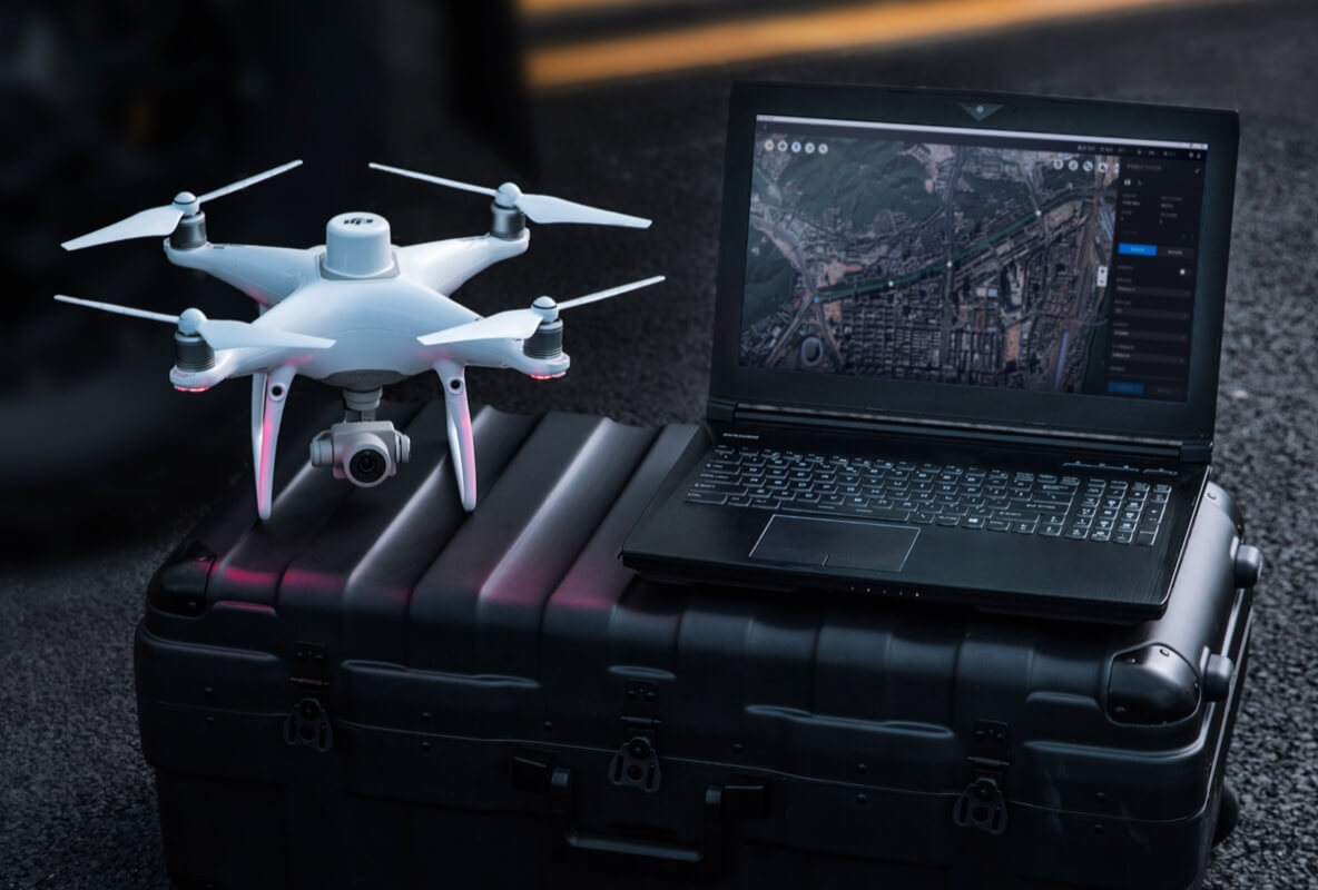
Industry application

Smart Cities, Infrastructure & Urban Planning

Large-area urban mapping, district digital twins, road monitoring, and planning-grade infrastructure intelligence.

Digital TwinLiDARPhotogrammetryGIS Integration3D ModelingPoint Clouds
Challenge and solution

Replace fragmented fieldwork with spatial intelligence

Traditional methods create risk, delays, and fragmented data

  • Informal, narrow, or dense areas are difficult to access.
  • Ground surveying is slow where movement is restricted.
  • Municipal and planning teams often work with fragmented or outdated data.
  • Informal construction can be hard to assess accurately.
Drone Tech captures precise, shareable, decision-ready insight

  • Map districts, roads, corridors, bridges, and infrastructure with high-resolution aerial datasets.
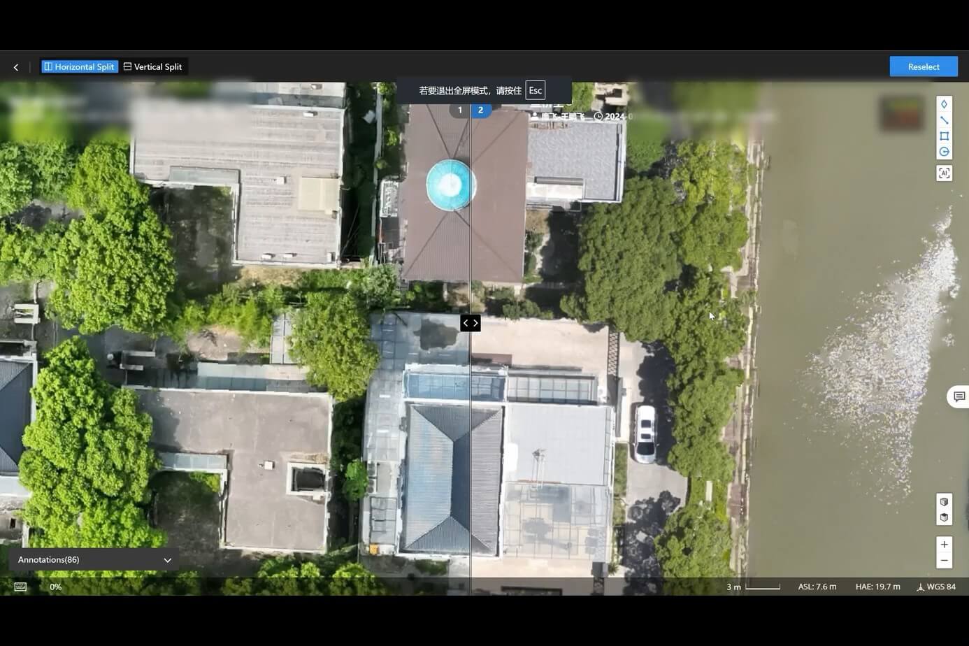
  • Build georeferenced 2D maps, 3D city models, elevation datasets, and digital twins.
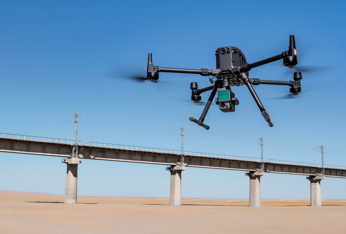
  • Inspect bridges, overpasses, pavements, and utility corridors for cracks, corrosion, stress, and clearance.
  • Document encroachment and informal construction for faster planning decisions.
Data outputs

What the mission produces

3D city models

Elevation layers

Road condition maps

Utility corridor datasets

Business benefits

Operational value beyond the flight

A stylized city grid becomes an interactive smart-city twin with roads, corridors, and inspection layers.

Better planning visibilityFaster urban surveysImproved infrastructure safetyStronger municipal records
Next mission

Start your digital transformation journey with Drone Tech

Turn aerial data into accurate digital twins, asset insights, and safer operations