Industry application

Tourism & Heritage Preservation

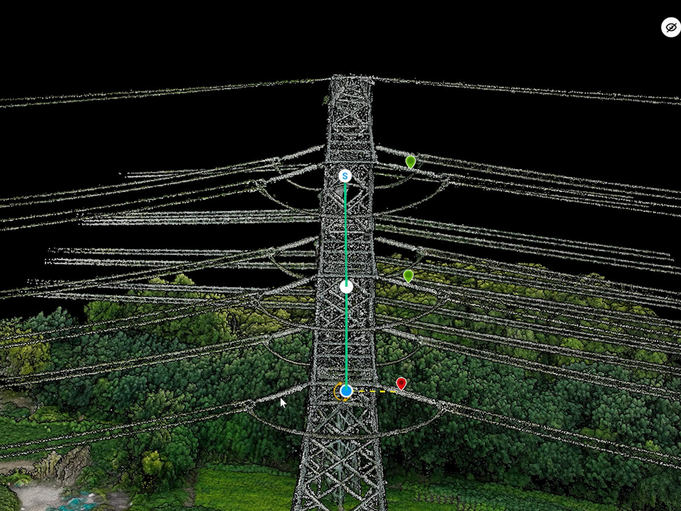
3D heritage documentation, structural assessment, site mapping, and digital restoration support for fragile assets.

PhotogrammetryDigital TwinRGB ImagingThermal Imaging3D ModelingGIS Integration
Challenge and solution

Replace fragmented fieldwork with spatial intelligence

Traditional methods create risk, delays, and fragmented data

  • Fragile, remote, or unsafe sites limit ground inspections.
  • Scaffolding and physical sampling can damage heritage assets.
  • 2D documentation fails to capture structural detail for restoration or archiving.
  • Collected data can be hard to display and manage.
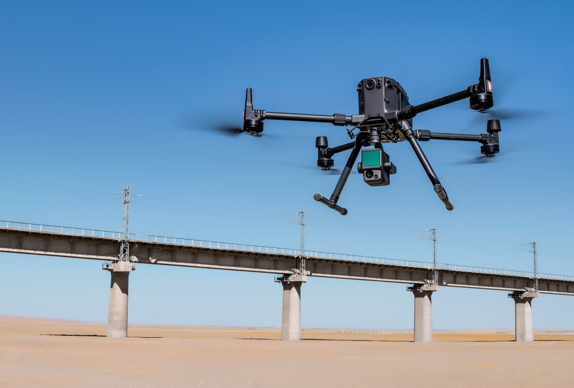
Drone Tech captures precise, shareable, decision-ready insight

  • Create 3D heritage documentation, accurate digital twins, and archive-ready models.
  • Assess structural integrity for cracks, moisture, thermal stress, and restoration needs.
  • Map archaeological sites and support excavation planning.
  • Enable virtual tourism, immersive tours, and digital restoration workflows.
Data outputs

What the mission produces

3D heritage models

Structural assessment layers

Photogrammetry archives

Virtual-tour assets

Business benefits

Operational value beyond the flight

A heritage monument morphs from photographic capture into a precise preservation model.

Lower site disturbanceBetter restoration evidenceRemote access to fragile assetsLong-term preservation records
Next mission

Start your digital transformation journey with Drone Tech

Turn aerial data into accurate digital twins, asset insights, and safer operations