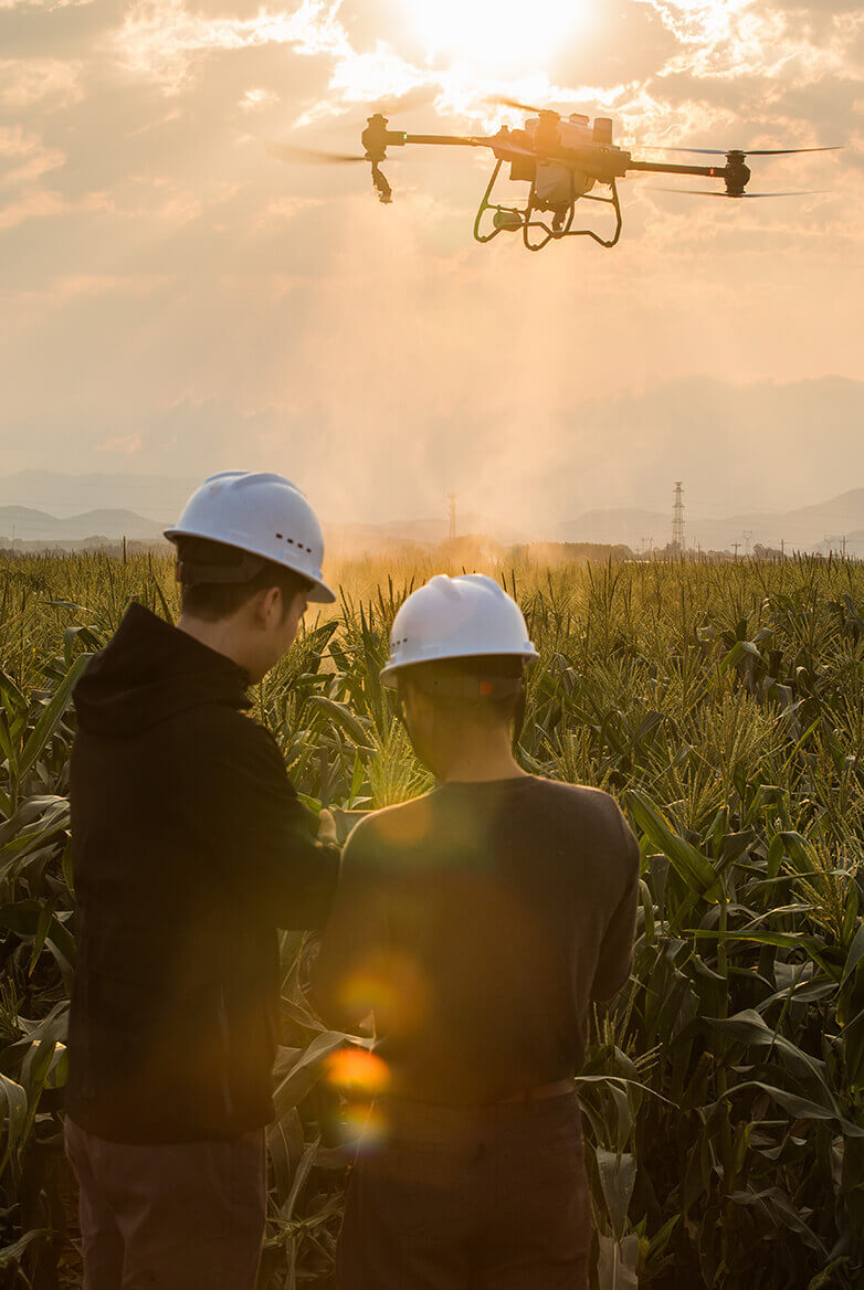
Conventional workflows miss context, consistency, or safe access
- Plant health indices (NDVI)
- Water stress levels
- Soil variability


Multispectral scanning for crop health, environmental tracking, and land classification.
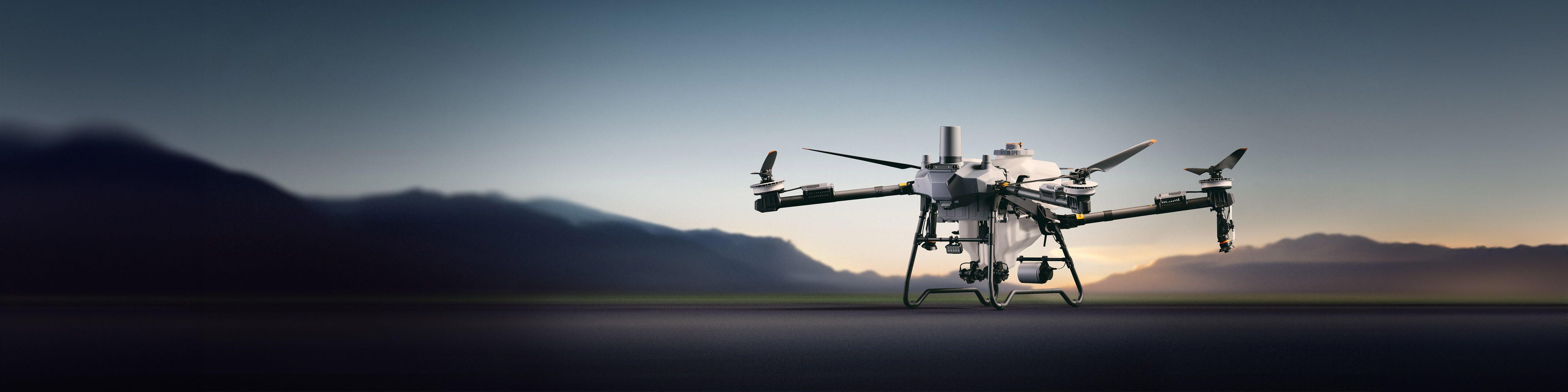
Crop-health monitoring, multispectral analytics, field mapping, precision spraying, and yield intelligence.
Explore application
Remote sensing for land-use change, vegetation health, risk mapping, pollution detection, and environmental reporting.
Explore applicationTurn aerial data into accurate digital twins, asset insights, and safer operations