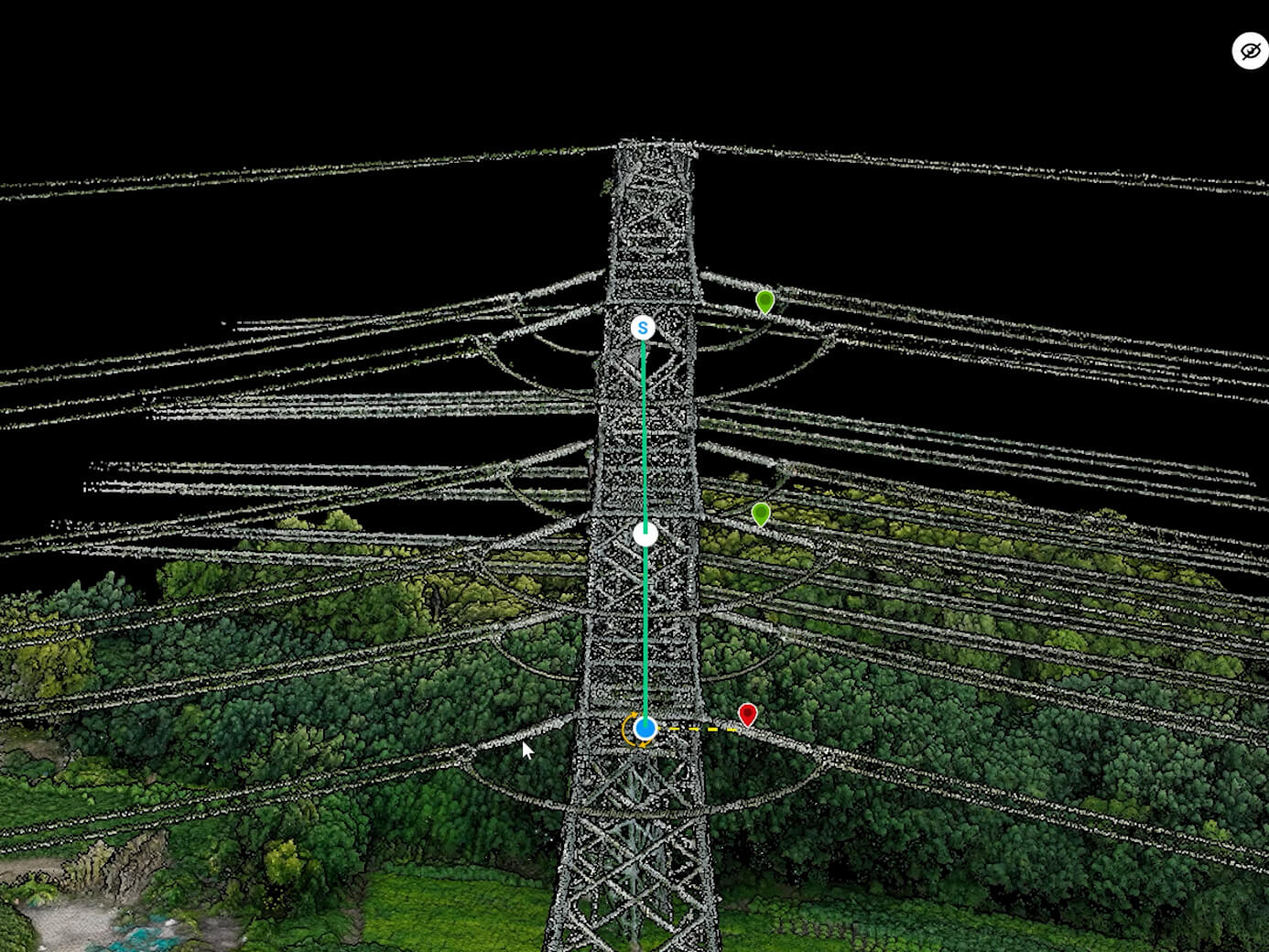
Conventional workflows miss context, consistency, or safe access
- High-resolution imagery
- Site surfaces
- Asset condition
- Ground control alignment


Georeferenced orthomosaic outputs for planning, design, documentation, and progress records.

Drone-powered mapping, progress intelligence, digital twins, and inspections for construction and infrastructure projects.
Explore application
Crop-health monitoring, multispectral analytics, field mapping, precision spraying, and yield intelligence.
Explore application
3D heritage documentation, structural assessment, site mapping, and digital restoration support for fragile assets.
Explore application
Large-area urban mapping, district digital twins, road monitoring, and planning-grade infrastructure intelligence.
Explore applicationTurn aerial data into accurate digital twins, asset insights, and safer operations