Industry application

Telecommunications

Tower digital twins, antenna alignment, line-of-sight studies, terrain analysis, and safer network inspections.

Digital TwinRGB ImagingThermal ImagingGIS Integration3D ModelingAutonomous Flights
Challenge and solution

Replace fragmented fieldwork with spatial intelligence

Traditional methods create risk, delays, and fragmented data

  • Tower climbing creates fall, electrical, and weather hazards.
  • Manual surveys and line-of-sight checks delay deployment.
  • Ground workflows miss rust, cracks, antenna misalignment, and structural issues.
  • Traditional inspections may interrupt service.
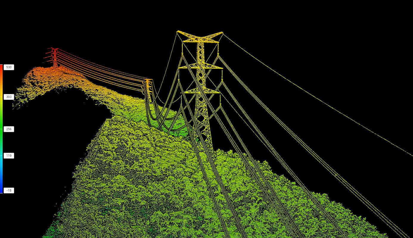
Drone Tech captures precise, shareable, decision-ready insight

  • Generate 3D georeferenced tower digital twins with equipment annotations.
  • Run line-of-sight and microwave link surveys with terrain and obstruction analysis.
  • Inspect tower structures for rust, cracks, bolts, and paint degradation.
  • Verify antenna alignment for network coverage and 5G performance.
Data outputs

What the mission produces

Tower digital twins

LOS analysis

Antenna alignment records

Structural inspection reports

Business benefits

Operational value beyond the flight

A 3D telecom tower shows antenna vectors, line-of-sight cones, and inspection annotations.

Reduced climbing riskFaster deploymentBetter network planningRepeatable maintenance history
Next mission

Start your digital transformation journey with Drone Tech

Turn aerial data into accurate digital twins, asset insights, and safer operations