Industry application

Environmental Monitoring

Remote sensing for land-use change, vegetation health, risk mapping, pollution detection, and environmental reporting.

Multispectral ImagingLiDARPhotogrammetryGIS IntegrationGas DetectionAI Analytics
Challenge and solution

Replace fragmented fieldwork with spatial intelligence

Traditional methods create risk, delays, and fragmented data

  • Ground surveys cover limited areas and take time.
  • Wetlands, deserts, forests, mountains, and inaccessible terrain are difficult to survey.
  • Environmental reports may arrive too late for proactive action.
  • Compliance pressure requires frequent and reliable reporting.
Drone Tech captures precise, shareable, decision-ready insight

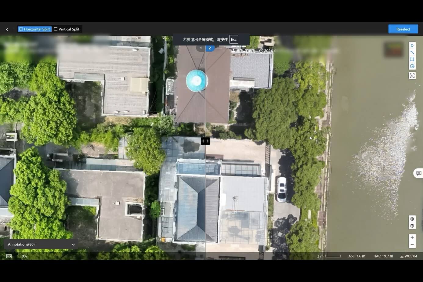
  • Detect visual pollution, illegal dumpsites, unplanned structures, abandoned vehicles, and land-use change.
  • Track deforestation, vegetation health, canopy structure, soil erosion, desertification, shorelines, and wetlands.
  • Assess disaster and environmental risk with flood maps, landslide risk, and wildfire hotspot detection.
  • Support renewable-energy environmental studies and SDG-aligned planning.
Data outputs

What the mission produces

NDVI and vegetation indices

Risk heatmaps

Land-use change maps

Compliance-ready reports

Business benefits

Operational value beyond the flight

An environmental dashboard overlays NDVI, shoreline change, land-use, and risk heatmaps.

Broader coverageEarlier interventionConsistent data qualityStronger ESG documentation
Next mission

Start your digital transformation journey with Drone Tech

Turn aerial data into accurate digital twins, asset insights, and safer operations