
Conventional workflows miss context, consistency, or safe access
- Elevation
- Vegetation structure
- Corridors
- Infrastructure geometry


High-density point clouds for terrain, elevation, infrastructure, and vegetation-penetrating workflows.

Drone-powered mapping, progress intelligence, digital twins, and inspections for construction and infrastructure projects.
Explore application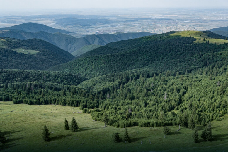
Large-area urban mapping, district digital twins, road monitoring, and planning-grade infrastructure intelligence.
Explore application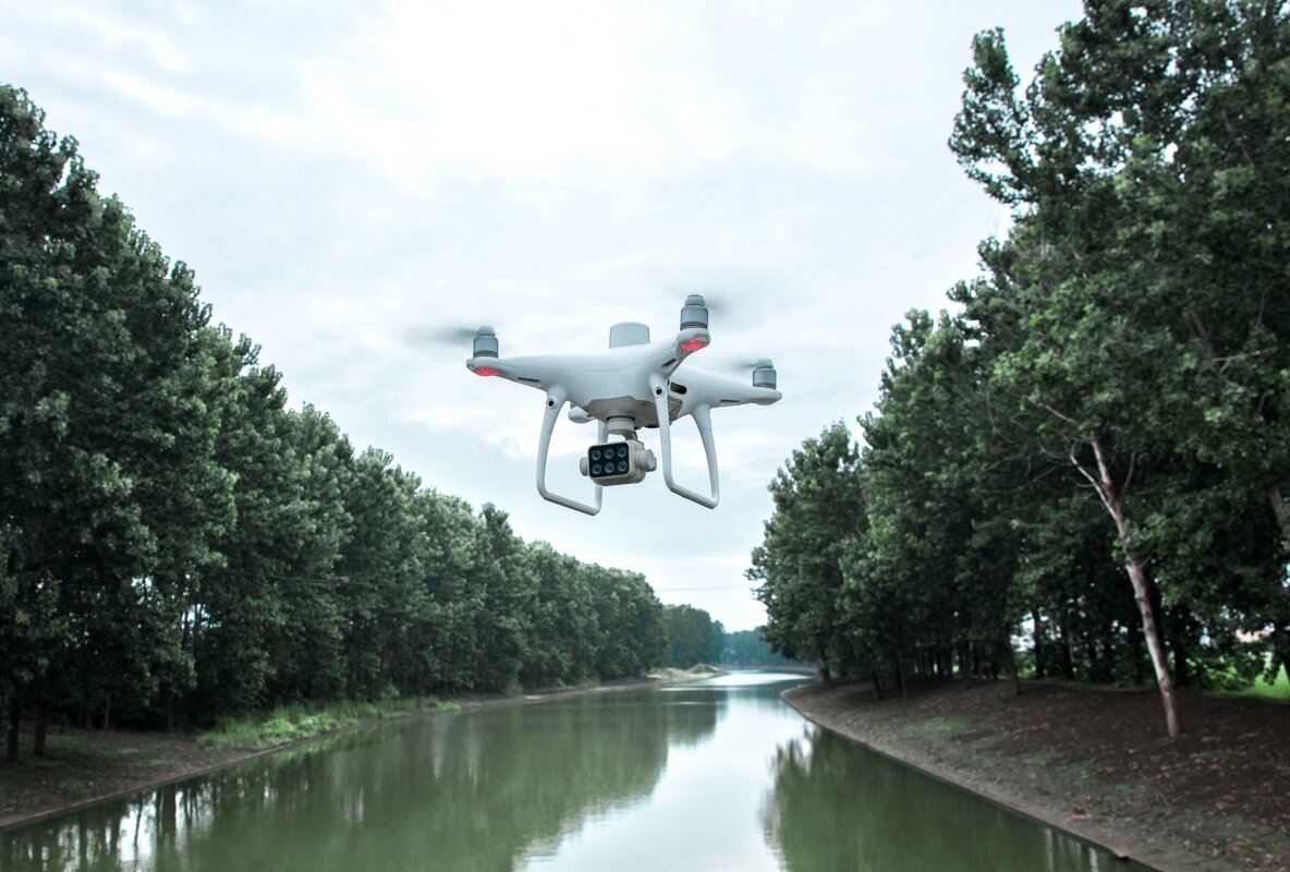
Mine mapping, stockpile measurement, terrain intelligence, aeromagnetic surveys, and safer remote-site monitoring.
Explore application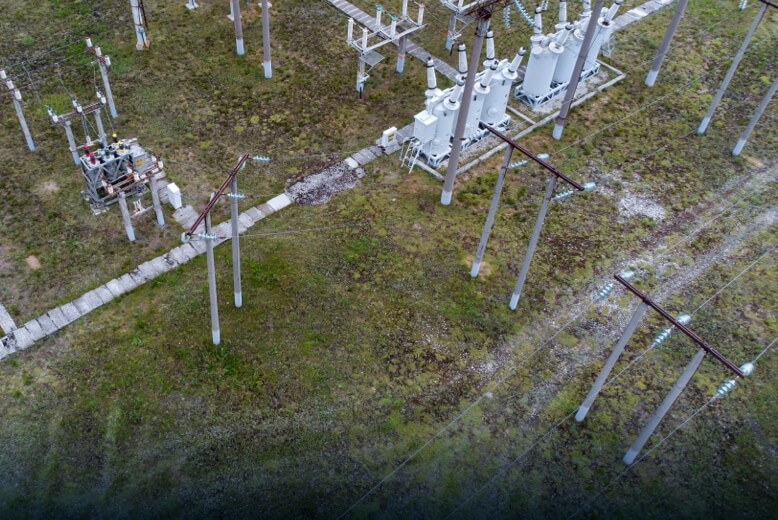
Transmission corridor mapping, vegetation encroachment analysis, thermal hotspot detection, and substation inspection.
Explore application
Crop-health monitoring, multispectral analytics, field mapping, precision spraying, and yield intelligence.
Explore applicationTurn aerial data into accurate digital twins, asset insights, and safer operations