Industry application

Powerlines & Substations

Transmission corridor mapping, vegetation encroachment analysis, thermal hotspot detection, and substation inspection.

LiDARThermal ImagingDigital TwinPhotogrammetryGIS IntegrationPoint Clouds
Challenge and solution

Replace fragmented fieldwork with spatial intelligence

Traditional methods create risk, delays, and fragmented data

  • Transmission tower climbing and live-line work create safety hazards.
  • Ground inspections can miss defects.
  • Vegetation encroachment assessment is slow and inaccurate.
  • Long corridors need reliable inspection history and compliance evidence.

Drone Tech captures precise, shareable, decision-ready insight

  • Create asset digital twins of corridors and substations using photogrammetry and LiDAR.
  • Track vegetation encroachment, right-of-way clearance, conductor sag, and terrain conflicts.
  • Detect broken insulators, loose fittings, hotspots, corrosion, and wear.
  • Build long-term inspection archives for predictive maintenance and compliance.
Data outputs

What the mission produces

LiDAR corridor models

Clearance envelopes

Thermal hotspot maps

Inspection archives

Business benefits

Operational value beyond the flight

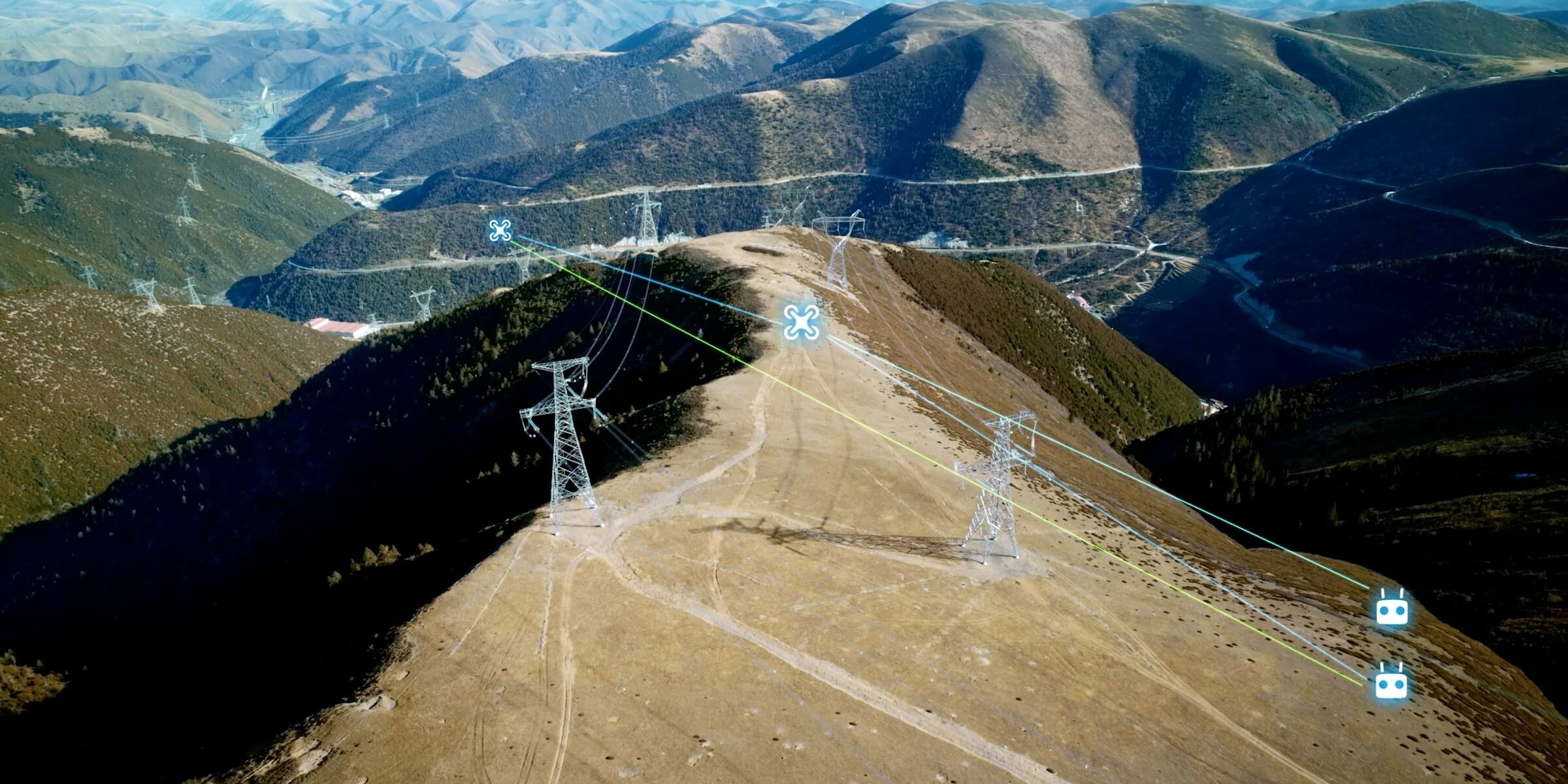
A transmission corridor is rendered as LiDAR lines with clearance envelopes and hotspot markers.

Safer inspectionOutage preventionFaster right-of-way planningBetter compliance tracking
Next mission

Start your digital transformation journey with Drone Tech

Turn aerial data into accurate digital twins, asset insights, and safer operations