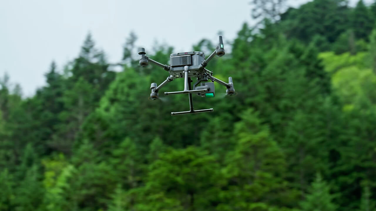
Conventional workflows miss context, consistency, or safe access
- Structural geometry
- Deformation data
- Complex surface shapes


Combining LiDAR point clouds with 3D modeling for accurate structural analysis.

Drone-powered mapping, progress intelligence, digital twins, and inspections for construction and infrastructure projects.
Explore application
Mine mapping, stockpile measurement, terrain intelligence, aeromagnetic surveys, and safer remote-site monitoring.
Explore application
Safer aerial and confined inspection for tanks, chimneys, pipelines, utilities, substations, and industrial assets.
Explore applicationTurn aerial data into accurate digital twins, asset insights, and safer operations