Industry application

AEC (Architecture, Engineering & Construction)

Drone-powered mapping, progress intelligence, digital twins, and inspections for construction and infrastructure projects.

Digital TwinLiDARPhotogrammetryRGB ImagingGIS IntegrationAutonomous Flights
Challenge and solution

Replace fragmented fieldwork with spatial intelligence

Traditional methods create risk, delays, and fragmented data

  • Ground surveys need heavy manpower, equipment, budget, and time.
  • Elevated, intricate, and tight areas are difficult to capture safely.
  • As-built versus design validation is difficult with fragmented manual documentation.
  • Earthwork and stockpile calculations often lack precision.

Drone Tech captures precise, shareable, decision-ready insight

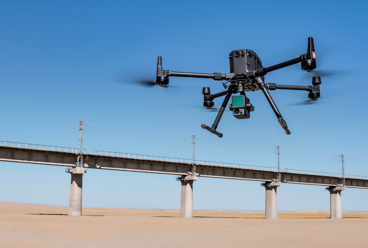
  • Capture high-resolution RGB, photogrammetry, and LiDAR data for residential, commercial, infrastructure, and construction sites.
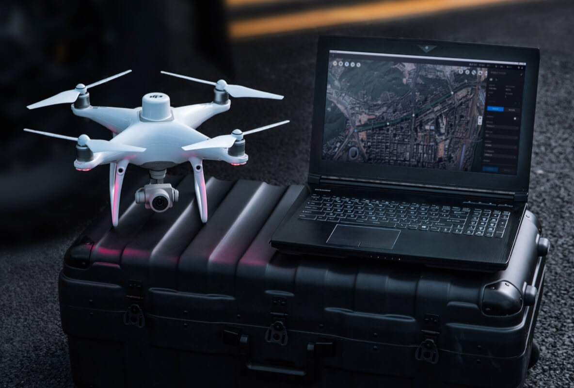
  • Generate georeferenced digital twins with BIM integration, terrain models, contours, and orthomosaics.
  • Run autonomous progress monitoring and compare as-built conditions with design intent.
  • Inspect structures without scaffolding, downtime, or unnecessary personnel exposure.
Data outputs

What the mission produces

Orthomosaic maps

3D terrain models

BIM-ready digital twins

Progress reports

Business benefits

Operational value beyond the flight

A construction site transforms into a BIM-ready digital twin while a scan line passes over the structure.

Faster surveysSafer inspectionsClear handover evidenceMore precise quantities
Next mission

Start your digital transformation journey with Drone Tech

Turn aerial data into accurate digital twins, asset insights, and safer operations