


Accurate aerial data, smarter insights, and safer operations
Drone Tech delivers end-to-end solutions in surveying and mapping, inspections, asset management, and media production using Digital Twin modeling, LiDAR, thermal imaging, photogrammetry, multispectral sensors, GIS, analytics, and cinematic aerial videography
Choose the capability, then connect it to the mission
Service pages are structured around what each capability captures, where it applies, deliverables, sensors, benefits, and related industries
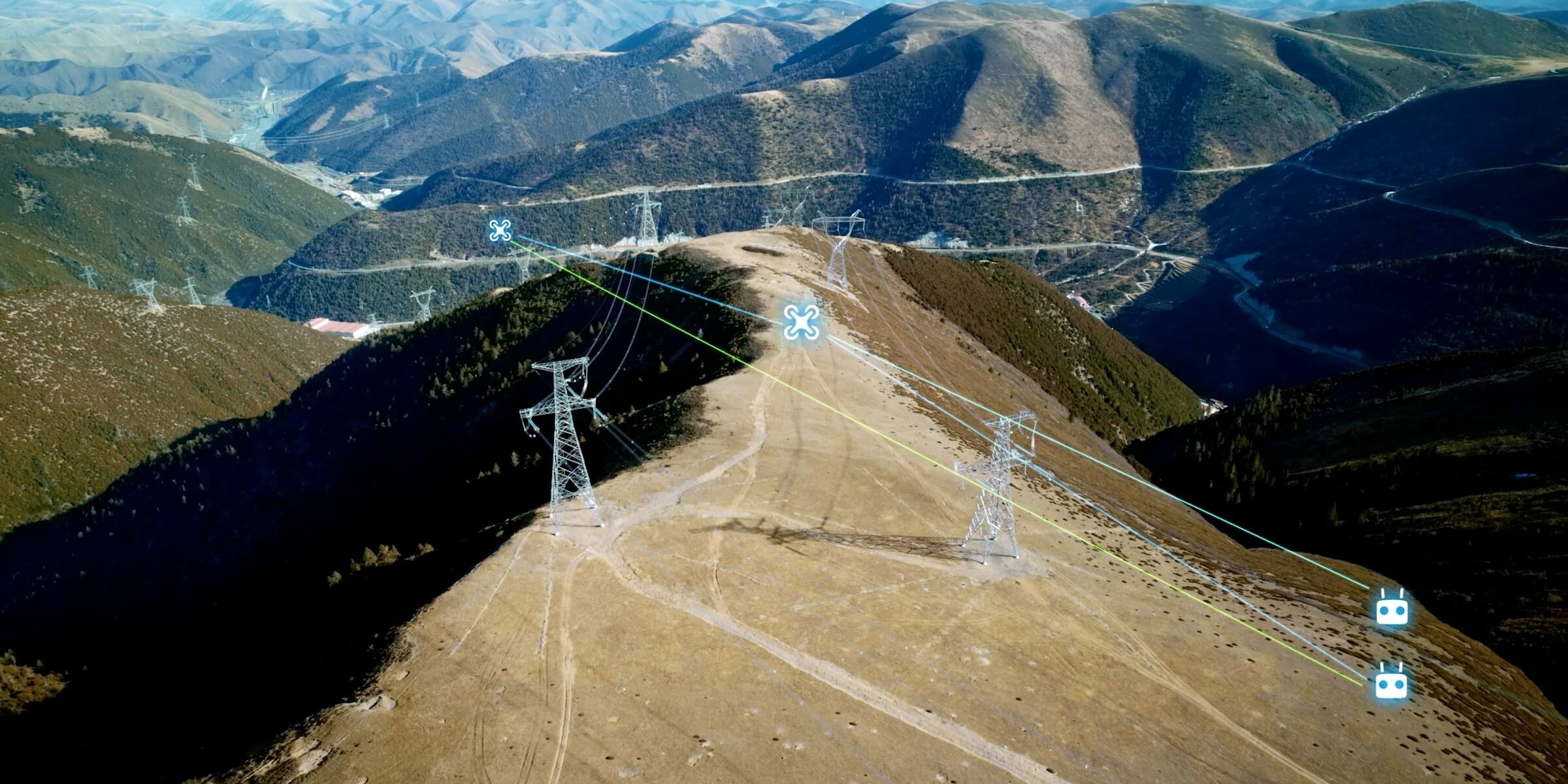
Automated & Repeatable Flights
Programmed drone missions for consistent, repeatable site data capture.

Confined Space Inspections
Safe drone inspection of tanks, chimneys, boilers, and hard-to-reach internal structures.
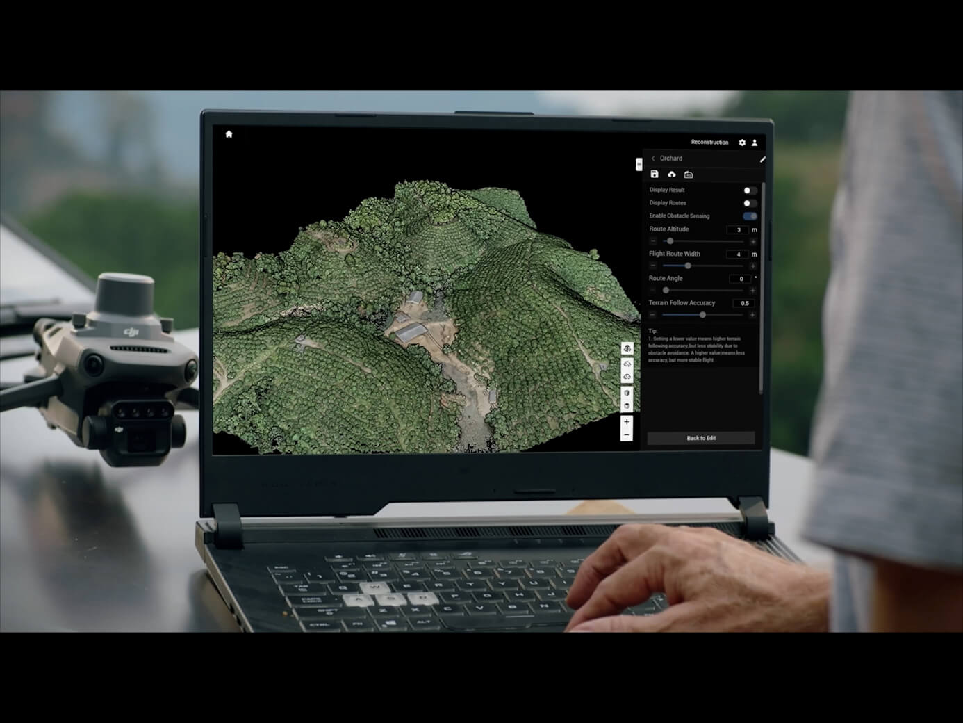
Digital Twin Integration
Integrating inspection results directly into interactive digital twin models.

Greenhouse Gases Detection
Aerial gas sensing for methane, CO2, and toxic emission leak monitoring.
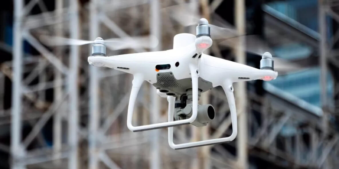
High-Resolution RGB/Photogrammetry Imaging
Millimeter-level RGB imaging for detailed visual inspection and photogrammetry modeling.
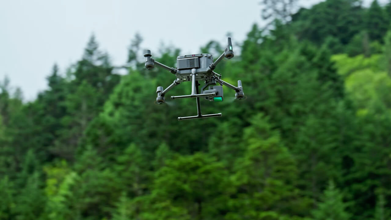
LiDAR & 3D Modeling
Combining LiDAR point clouds with 3D modeling for accurate structural analysis.
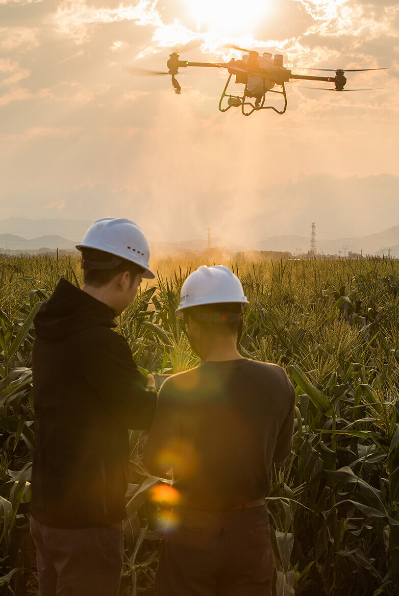
Multispectral Imaging
Multispectral scanning for crop health, environmental tracking, and land classification.
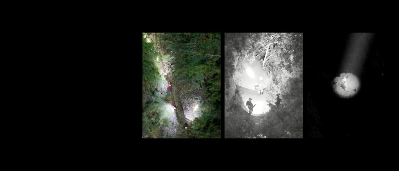
Thermal & Infrared Scanning
Advanced thermal scanning for insulation loss, electrical faults, and hotspots.
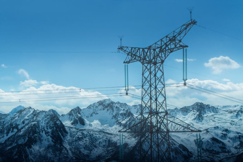
Thermal Inspection
Targeted thermal imaging for rapid hotspot identification and safety checks.
Start your digital transformation journey with Drone Tech
Turn aerial data into accurate digital twins, asset insights, and safer operations