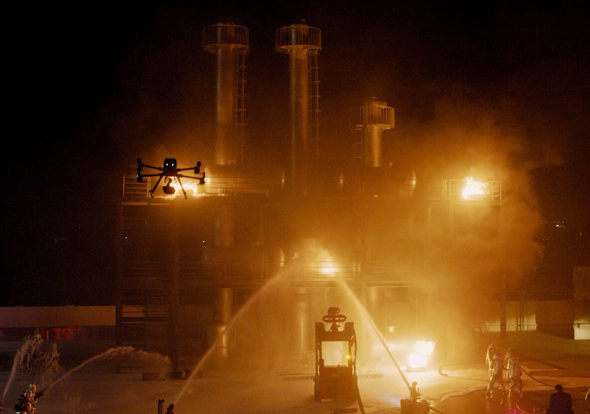
Conventional workflows miss context, consistency, or safe access
- Temperature gradients
- Thermal anomalies
- Heat loss points
- Electrical hotspots


Radiometric thermal capture for solar farms, powerlines, building envelopes, and heat anomaly detection.
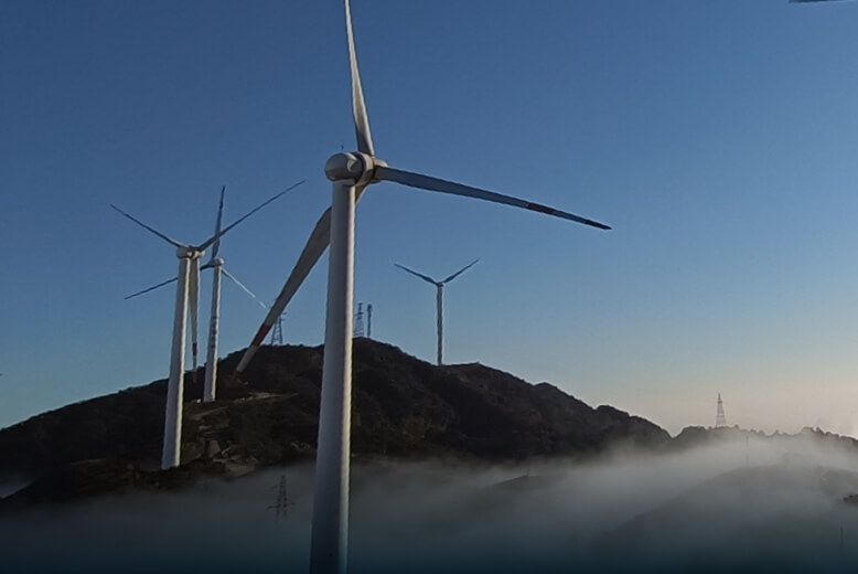
Thermal inspection, RGB mapping, terrain modeling, and O&M digital twins for solar farms and rooftop PV systems.
Explore application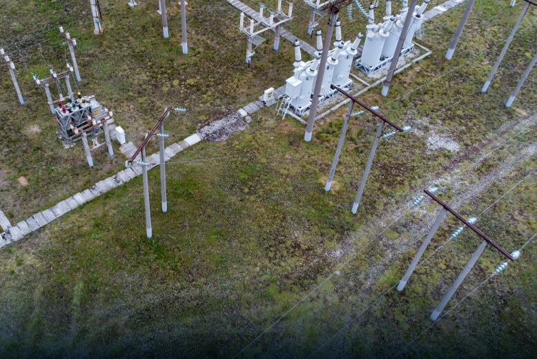
Transmission corridor mapping, vegetation encroachment analysis, thermal hotspot detection, and substation inspection.
Explore application
Safer aerial and confined inspection for tanks, chimneys, pipelines, utilities, substations, and industrial assets.
Explore application
Remote inspection, facility digital twins, gas detection, thermal anomaly mapping, and pipeline corridor intelligence.
Explore applicationTurn aerial data into accurate digital twins, asset insights, and safer operations