Industry application

Solar Panels

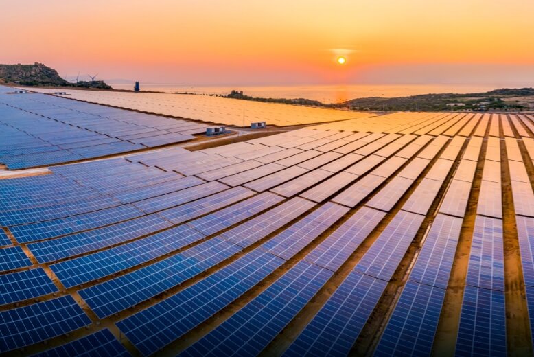
Thermal inspection, RGB mapping, terrain modeling, and O&M digital twins for solar farms and rooftop PV systems.

Thermal ImagingRGB ImagingPhotogrammetryLiDARDigital TwinAutonomous Flights
Challenge and solution

Replace fragmented fieldwork with spatial intelligence

Traditional methods create risk, delays, and fragmented data

  • Manual panel checks are slow.
  • Hotspots, microcracks, and electrical defects may be invisible to the eye.
  • Large-scale farms need vegetation, terrain, soiling, and shading monitoring.
  • Locating underperforming panels or strings is difficult without mapped data.
Drone Tech captures precise, shareable, decision-ready insight

  • Use thermal and RGB capture to identify PID, hotspots, microcracks, soiling, dust, and shading.
  • Generate terrain and layout models for planning and installation optimization.
  • Create O&M digital twins for asset monitoring and predictive maintenance.
  • Map strings, inverters, and fault locations for faster maintenance dispatch.
Data outputs

What the mission produces

Thermal defect maps

Panel condition reports

Solar farm digital twins

Soiling and shading maps

Business benefits

Operational value beyond the flight

A drone scans a solar field and defective panels light up with thermal and performance overlays.

Faster fault isolationReduced downtimeBetter energy yieldSafer inspections
Next mission

Start your digital transformation journey with Drone Tech

Turn aerial data into accurate digital twins, asset insights, and safer operations