

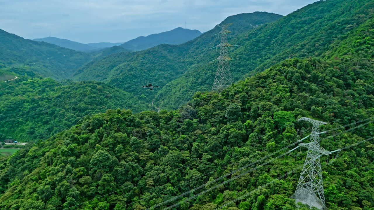
Egypt's Ministry of Water Resources and Irrigation is scaling up the use of drone technology to safeguard its vital water network. Drone Tech has successfully completed a pilot project mapping canal structures using high-density LiDAR and multi-spectral sensors.
Combatting Aquatic Weeds
One of the most persistent issues in irrigation is the rapid growth of water hyacinth and other weeds, which restrict water flow. Multi-spectral drone mapping allows engineers to:
LiDAR Structural Inspections
By flying low-altitude missions with LiDAR sensors, we capture centimeter-grade terrain models of canal banks. This data is critical for:
For more details on the program, view the reports on Daily News Egypt.